Sombra Carrizal geodata
Sombra Carrizal (Chiapas) is a populated place; located in Mexico in America/Mexico_City (GMT-6) time zone. With population of 911 people, there are 9575 cities with bigger population in this country. Compared to other cities in Mexico, 85.3% of cities are located further ↑North; 90.2% of cities are located further ←West and 52.1% of cities have higher elevation than Sombra Carrizal. Note1


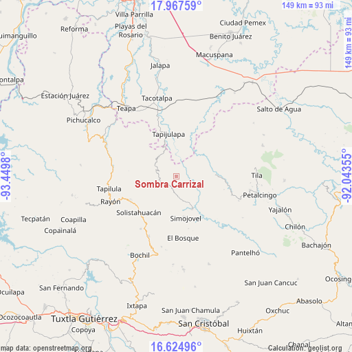
Sombra Carrizal GPS coordinates[2]
17° 17' 51" North, 92° 44' 48.012" West
| Map corner | latitude | longitude |
|---|---|---|
| Upper-left | 17.96759°, | -93.4498° |
| Center: | 17.2975°, | -92.74667° |
| Lower-right: | 16.62496°, | -92.04355° |
| Map W x H: | 149.3×149.3 km | = 92.8×92.8mi |
| max Lat: | 32.7° ⇑85.3% North |
| Sombra Carrizal: | 17.2975° |
| min Lat: | ⇓14.7% South 14.53588° |
| min Long | Sombra Carrizal | max Long |
| -117.105° | -92.74667° | -86.73105° |
| W 90.2%⇐ | ⇒9.8% E |
Elevation
Elevation of Sombra Carrizal is 1334 m = 4377 ft, and this is 80.3 m = 263 ft above average elevation for this country.
| Max E: |
3497 m = 11473 ft | 52.1% |
| Sombra Carrizal | 1334 m 4377 ft | |
| Avg. | 1253.7 m = 4113 ft | |
Min E: |
-1 m = -3 ft | 47.9% |
See also: Mexico elevation on elevation.city.
Geographical zone
Sombra Carrizal is located in North Torrid zone (between Equator and Tropic of Cancer). Distance of this Northern Tropic circle is 682.6 km =424.1 mi to North.| Distance of | km | miles | from Sombra Carrizal |
|---|---|---|---|
| North Pole | 8083.8 | 5023 | to North |
| Arctic Circle | 5477.9 | 3403.8 | to North |
| Tropic Cancer | 682.6 | 424.1 | to North |
| Equator | 1923.3 | 1195.1 | to South |


Nearby cities:
15 places around Sombra Carrizal: (largest is in red/bold)
• Año de Juárez
11.2 km =7 mi,  249°
249°
• Campamento el Mirador
9.3 km =5.8 mi,  51°
51°
• Cuitláhuac
6.8 km =4.2 mi,  14°
14°
• El Calvario
11.2 km =7 mi,  279°
279°
• El Ocotal
10.8 km =6.7 mi,  183°
183°
• Huanal
2.7 km =1.7 mi,  70°
70°
• José María Morelos y Pavón
7.8 km =4.8 mi,  143°
143°
• La Competencia
6.9 km =4.3 mi,  189°
189°
• La Esperanza
6 km =3.7 mi,  287°
287°
• Oxolotán
9.1 km =5.7 mi,  358°
358°
• Ramos Cubilete
8.1 km =5 mi,  121°
121°
• San Rafael
11.4 km =7.1 mi,  199°
199°
• Villa Luz
3.5 km =2.2 mi, 122°
• Zacajtic
5.4 km =3.4 mi, 197°
• Zacatonal de Juárez
6.3 km =3.9 mi,  242°
242°
Sources, notices
• [Note1] Compared only with cities in Mexico existing in our database
• [Src1] Map data: © OpenStreetMap contributors (CC-BY-SA)
• [Src2] Other city data from geonames.org with taken over terms of usage.
• [Src3] Geographical zone / Annual Mean Temperature by Robert A. Rohde @ Wikipedia
