El Jardín geodata
El Jardín (Chiapas) is a populated place; located in Mexico in America/Mexico_City (GMT-6) time zone. With population of 715 people, there are 12184 cities with bigger population in this country. Compared to other cities in Mexico, 89.3% of cities are located further ↑North; 96.3% of cities are located further ←West and 62.5% of cities have higher elevation than El Jardín. Note1


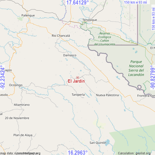
El Jardín GPS coordinates[2]
16° 58' 12" North, 91° 31' 51.996" West
| Map corner | latitude | longitude |
|---|---|---|
| Upper-left | 17.64129°, | -92.23424° |
| Center: | 16.97°, | -91.53111° |
| Lower-right: | 16.2963°, | -90.82799° |
| Map W x H: | 149.5×149.6 km | = 92.9×93mi |
| max Lat: | 32.7° ⇑89.3% North |
| El Jardín: | 16.97° |
| min Lat: | ⇓10.7% South 14.53588° |
| min Long | El Jardín | max Long |
| -117.105° | -91.53111° | -86.73105° |
| W 96.3%⇐ | ⇒3.7% E |
Elevation
Elevation of El Jardín is 854 m = 2802 ft, and this is 399.7 m = 1311 ft below average elevation for this country.
| Max E: |
3497 m = 11473 ft | 62.5% |
| Avg. | 1253.7 m = 4113 ft | |
| El Jardín | 854 m = 2802 ft | |
Min E: |
-1 m = -3 ft | 37.5% |
See also: Mexico elevation on elevation.city.
Geographical zone
El Jardín is located in North Torrid zone (between Equator and Tropic of Cancer). Distance of this Northern Tropic circle is 719 km =446.8 mi to North.| Distance of | km | miles | from El Jardín |
|---|---|---|---|
| North Pole | 8120.2 | 5045.7 | to North |
| Arctic Circle | 5514.3 | 3426.4 | to North |
| Tropic Cancer | 719 | 446.8 | to North |
| Equator | 1886.9 | 1172.5 | to South |


Nearby cities:
15 places around El Jardín: (largest is in red/bold)
• Ach Lum Monte Líbano
12.9 km =8 mi,  232°
232°
• Arroyo Granizo
13.5 km =8.4 mi,  56°
56°
• El Censo
12.3 km =7.6 mi,  194°
194°
• El Sibal
4.4 km =2.7 mi,  75°
75°
• El Tumbo
15.7 km =9.8 mi,  319°
319°
• La Arena
16.1 km =10 mi,  3°
3°
• Lacandón
8.9 km =5.5 mi,  309°
309°
• Ojo de Agua
11.4 km =7.1 mi,  26°
26°
• Plácido Flores
13.6 km =8.5 mi, 234°
• San Luis (Guadalupe)
11.2 km =7 mi,  250°
250°
• Santa Elena
10.6 km =6.6 mi,  216°
216°
• Santa Rita
9.5 km =5.9 mi,  126°
126°
• Santo Domingo
13.8 km =8.6 mi, 61°
• Ubilio García
14.1 km =8.8 mi, 26°
• Zaragoza
12.4 km =7.7 mi,  290°
290°
Sources, notices
• [Note1] Compared only with cities in Mexico existing in our database
• [Src1] Map data: © OpenStreetMap contributors (CC-BY-SA)
• [Src2] Other city data from geonames.org with taken over terms of usage.
• [Src3] Geographical zone / Annual Mean Temperature by Robert A. Rohde @ Wikipedia
