El Zapote geodata
El Zapote (Guanajuato) is a populated place; located in Mexico in America/Mexico_City (GMT-6) time zone. With population of 664 people, there are 13077 cities with bigger population in this country. Compared to other cities in Mexico, 76.5% of cities are located further ↓South; 67.4% of cities are located further →East and 82.7% of cities have lower elevation than El Zapote. Note1


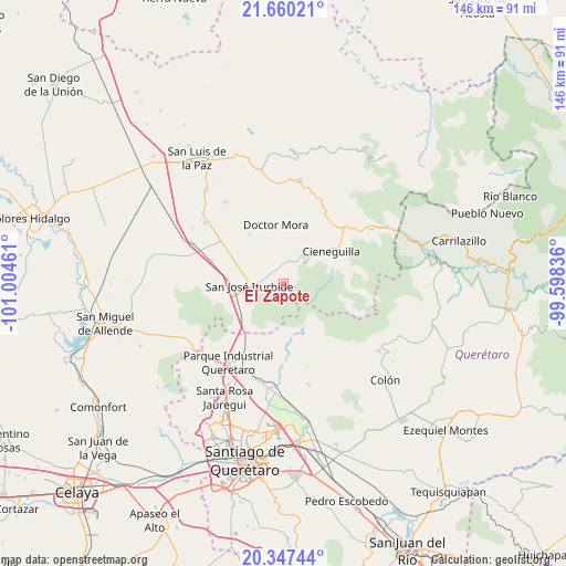
El Zapote GPS coordinates[2]
21° 0' 18.972" North, 100° 18' 5.328" West
| Map corner | latitude | longitude |
|---|---|---|
| Upper-left | 21.66021°, | -101.00461° |
| Center: | 21.00527°, | -100.30148° |
| Lower-right: | 20.34744°, | -99.59836° |
| Map W x H: | 146×146 km | = 90.7×90.7mi |
| max Lat: | 32.7° ⇑23.5% North |
| El Zapote: | 21.00527° |
| min Lat: | ⇓76.5% South 14.53588° |
| min Long | El Zapote | max Long |
| -117.105° | -100.30148° | -86.73105° |
| W 32.6%⇐ | ⇒67.4% E |
Elevation
Elevation of El Zapote is 2206 m = 7238 ft, and this is 952.3 m = 3124 ft above average elevation for this country.
| Max E: |
3497 m = 11473 ft | 17.3% |
| El Zapote | 2206 m 7238 ft | |
| Avg. | 1253.7 m = 4113 ft | |
Min E: |
-1 m = -3 ft | 82.7% |
See also: Mexico elevation on elevation.city.
Geographical zone
El Zapote is located in North Torrid zone (between Equator and Tropic of Cancer). Distance of this Northern Tropic circle is 270.4 km =168 mi to North.| Distance of | km | miles | from El Zapote |
|---|---|---|---|
| North Pole | 7671.5 | 4766.8 | to North |
| Arctic Circle | 5065.6 | 3147.6 | to North |
| Tropic Cancer | 270.4 | 168 | to North |
| Equator | 2335.6 | 1451.3 | to South |


Nearby cities:
15 places around El Zapote: (largest is in red/bold)
• Carbajal
6.4 km =4 mi,  29°
29°
• El Capulín
4.5 km =2.8 mi,  331°
331°
• El Pinito
9.9 km =6.2 mi,  266°
266°
• La Ciénega
4.8 km =3 mi, 326°
• La Redonda
8.7 km =5.4 mi,  349°
349°
• La Reforma
10.7 km =6.6 mi,  299°
299°
• La Yerbabuena
6.2 km =3.9 mi, 300°
• Las Tuzas
1.8 km =1.1 mi,  151°
151°
• Miranda
8.7 km =5.4 mi,  338°
338°
• Morisquilla
10.8 km =6.7 mi, 333°
• Ojo de Agua del Refugio
1.9 km =1.2 mi, 300°
• Prados del Rosario
9.6 km =6 mi,  281°
281°
• Rincón de Cano
8.3 km =5.2 mi,  48°
48°
• San José Iturbide
8.6 km =5.3 mi, 267°
• Santa Anita
3.6 km =2.2 mi,  294°
294°
Sources, notices
• [Note1] Compared only with cities in Mexico existing in our database
• [Src1] Map data: © OpenStreetMap contributors (CC-BY-SA)
• [Src2] Other city data from geonames.org with taken over terms of usage.
• [Src3] Geographical zone / Annual Mean Temperature by Robert A. Rohde @ Wikipedia
