San José geodata
San José (Chiapas) is a populated place; located in Mexico in America/Mexico_City (GMT-6) time zone. With population of 620 people, there are 13925 cities with bigger population in this country. Compared to other cities in Mexico, 92.8% of cities are located further ↑North; 96.5% of cities are located further ←West and 67.4% of cities have higher elevation than San José. Note1


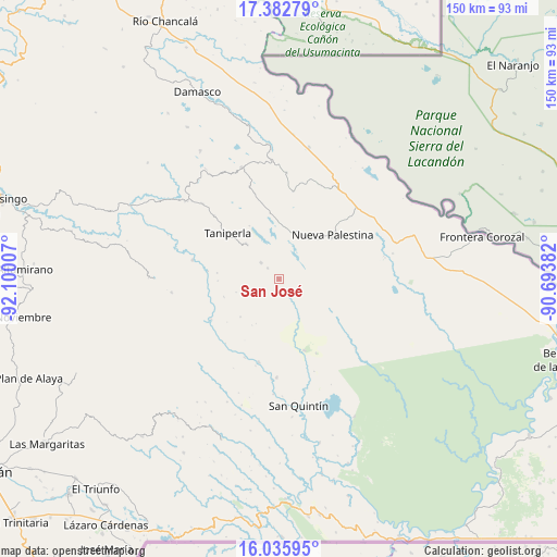
San José GPS coordinates[2]
16° 42' 38.016" North, 91° 23' 48.984" West
| Map corner | latitude | longitude |
|---|---|---|
| Upper-left | 17.38279°, | -92.10007° |
| Center: | 16.71056°, | -91.39694° |
| Lower-right: | 16.03595°, | -90.69382° |
| Map W x H: | 149.8×149.8 km | = 93.1×93.1mi |
| max Lat: | 32.7° ⇑92.8% North |
| San José: | 16.71056° |
| min Lat: | ⇓7.2% South 14.53588° |
| min Long | San José | max Long |
| -117.105° | -91.39694° | -86.73105° |
| W 96.5%⇐ | ⇒3.5% E |
Elevation
Elevation of San José is 563 m = 1847 ft, and this is 690.7 m = 2266 ft below average elevation for this country.
| Max E: |
3497 m = 11473 ft | 67.4% |
| Avg. | 1253.7 m = 4113 ft | |
| San José | 563 m = 1847 ft | |
Min E: |
-1 m = -3 ft | 32.6% |
See also: Mexico elevation on elevation.city.
Geographical zone
San José is located in North Torrid zone (between Equator and Tropic of Cancer). Distance of this Northern Tropic circle is 747.9 km =464.7 mi to North.| Distance of | km | miles | from San José |
|---|---|---|---|
| North Pole | 8149 | 5063.6 | to North |
| Arctic Circle | 5543.1 | 3444.3 | to North |
| Tropic Cancer | 747.9 | 464.7 | to North |
| Equator | 1858 | 1154.5 | to South |


Nearby cities:
15 places around San José: (largest is in red/bold)
• Agua Azul
17.8 km =11.1 mi,  310°
310°
• Amador Hernández
20.4 km =12.7 mi,  160°
160°
• Cintalapa
24 km =14.9 mi,  9°
9°
• El Censo
24.2 km =15 mi, 314°
• El Zapotal
6.5 km =4 mi, 312°
• La Soledad
23.1 km =14.4 mi,  193°
193°
• Las Tazas
23.8 km =14.8 mi,  282°
282°
• Nueva Palestina
18.8 km =11.7 mi,  50°
50°
• Perla de Acapulco
12.8 km =8 mi,  317°
317°
• Plan de Ayutla
14.7 km =9.1 mi,  39°
39°
• San Bartolo (El Puerto)
23 km =14.3 mi,  203°
203°
• San Caralampio
4.3 km =2.7 mi, 315°
• Santa Rita
24.1 km =15 mi,  343°
343°
• Santo Tomás
16.6 km =10.3 mi, 275°
• Taniperla
18.3 km =11.4 mi, 312°
Sources, notices
• [Note1] Compared only with cities in Mexico existing in our database
• [Src1] Map data: © OpenStreetMap contributors (CC-BY-SA)
• [Src2] Other city data from geonames.org with taken over terms of usage.
• [Src3] Geographical zone / Annual Mean Temperature by Robert A. Rohde @ Wikipedia
