Sauz de Guadalupe geodata
Sauz de Guadalupe (Querétaro) is a populated place; located in Mexico in America/Mexico_City (GMT-6) time zone. With population of 565 people, there are 15122 cities with bigger population in this country. Compared to other cities in Mexico, 79.5% of cities are located further ↓South; 58.7% of cities are located further →East and 50.7% of cities have lower elevation than Sauz de Guadalupe. Note1


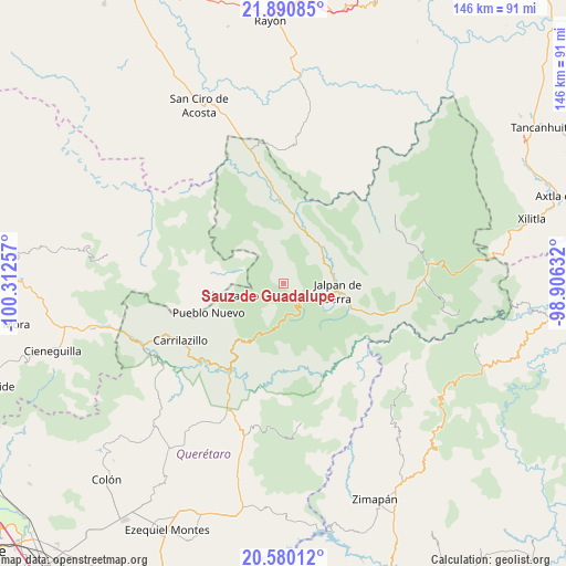
Sauz de Guadalupe GPS coordinates[2]
21° 14' 12.984" North, 99° 36' 33.984" West
| Map corner | latitude | longitude |
|---|---|---|
| Upper-left | 21.89085°, | -100.31257° |
| Center: | 21.23694°, | -99.60944° |
| Lower-right: | 20.58012°, | -98.90632° |
| Map W x H: | 145.7×145.7 km | = 90.5×90.5mi |
| max Lat: | 32.7° ⇑20.5% North |
| Sauz de Guadalupe: | 21.23694° |
| min Lat: | ⇓79.5% South 14.53588° |
| min Long | Sauz de Guadalu | max Long |
| -117.105° | -99.60944° | -86.73105° |
| W 41.3%⇐ | ⇒58.7% E |
Elevation
Elevation of Sauz de Guadalupe is 1472 m = 4829 ft, and this is 218.3 m = 716 ft above average elevation for this country.
| Max E: |
3497 m = 11473 ft | 49.3% |
| Sauz de Guadalupe | 1472 m 4829 ft | |
| Avg. | 1253.7 m = 4113 ft | |
Min E: |
-1 m = -3 ft | 50.7% |
See also: Mexico elevation on elevation.city.
Geographical zone
Sauz de Guadalupe is located in North Torrid zone (between Equator and Tropic of Cancer). Distance of this Northern Tropic circle is 244.6 km =152 mi to North.| Distance of | km | miles | from Sauz de Guadalupe |
|---|---|---|---|
| North Pole | 7645.7 | 4750.8 | to North |
| Arctic Circle | 5039.8 | 3131.6 | to North |
| Tropic Cancer | 244.6 | 152 | to North |
| Equator | 2361.3 | 1467.2 | to South |


Nearby cities:
15 places around Sauz de Guadalupe: (largest is in red/bold)
• Agua Fría
22.4 km =13.9 mi,  245°
245°
• Ahuacatlán de Guadalupe
7.6 km =4.7 mi,  109°
109°
• Atarjea
11.9 km =7.4 mi,  286°
286°
• Camargo
19.5 km =12.1 mi,  221°
221°
• Concá
23.3 km =14.5 mi,  353°
353°
• El Carricillo
24.8 km =15.4 mi, 290°
• El Lindero
12.2 km =7.6 mi,  67°
67°
• Jalpan
14.4 km =8.9 mi,  98°
98°
• La Estación
27 km =16.8 mi,  210°
210°
• Landa de Matamoros
30.6 km =19 mi, 100°
• Peña Blanca
25.3 km =15.7 mi, 210°
• Peñamiller
29.5 km =18.3 mi,  226°
226°
• Pinal de Amoles
11.5 km =7.1 mi,  188°
188°
• Purísima de Arista
13 km =8.1 mi,  50°
50°
• Villa Emiliano Zapata (Extoraz)
28.5 km =17.7 mi, 217°
Sources, notices
• [Note1] Compared only with cities in Mexico existing in our database
• [Src1] Map data: © OpenStreetMap contributors (CC-BY-SA)
• [Src2] Other city data from geonames.org with taken over terms of usage.
• [Src3] Geographical zone / Annual Mean Temperature by Robert A. Rohde @ Wikipedia
