Patatehel geodata
Patatehel (Chiapas) is a populated place; located in Mexico in America/Mexico_City (GMT-6) time zone. With population of 558 people, there are 15286 cities with bigger population in this country. Compared to other cities in Mexico, 86.8% of cities are located further ↑North; 94.4% of cities are located further ←West and 65.3% of cities have higher elevation than Patatehel. Note1


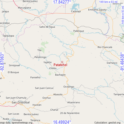
Patatehel GPS coordinates[2]
17° 10' 19.992" North, 92° 10' 3" West
| Map corner | latitude | longitude |
|---|---|---|
| Upper-left | 17.84277°, | -92.87063° |
| Center: | 17.17222°, | -92.1675° |
| Lower-right: | 16.49924°, | -91.46438° |
| Map W x H: | 149.4×149.4 km | = 92.8×92.8mi |
| max Lat: | 32.7° ⇑86.8% North |
| Patatehel: | 17.17222° |
| min Lat: | ⇓13.2% South 14.53588° |
| min Long | Patatehel | max Long |
| -117.105° | -92.1675° | -86.73105° |
| W 94.4%⇐ | ⇒5.6% E |
Elevation
Elevation of Patatehel is 670 m = 2198 ft, and this is 583.7 m = 1915 ft below average elevation for this country.
| Max E: |
3497 m = 11473 ft | 65.3% |
| Avg. | 1253.7 m = 4113 ft | |
| Patatehel | 670 m = 2198 ft | |
Min E: |
-1 m = -3 ft | 34.7% |
See also: Mexico elevation on elevation.city.
Geographical zone
Patatehel is located in North Torrid zone (between Equator and Tropic of Cancer). Distance of this Northern Tropic circle is 696.5 km =432.8 mi to North.| Distance of | km | miles | from Patatehel |
|---|---|---|---|
| North Pole | 8097.7 | 5031.7 | to North |
| Arctic Circle | 5491.8 | 3412.4 | to North |
| Tropic Cancer | 696.5 | 432.8 | to North |
| Equator | 1909.4 | 1186.4 | to South |


Nearby cities:
15 places around Patatehel: (largest is in red/bold)
• Amado Nervo
10.6 km =6.6 mi,  308°
308°
• Benito Juárez
13.4 km =8.3 mi,  315°
315°
• Centro Chich
1.6 km =1 mi,  97°
97°
• Chabán
6.9 km =4.3 mi,  44°
44°
• Chilón
13.4 km =8.3 mi,  236°
236°
• Corostic
5.2 km =3.2 mi,  170°
170°
• El Mango
11.5 km =7.1 mi, 95°
• Ignacio Allende
8.9 km =5.5 mi,  12°
12°
• José María Morelos y Pavón
12.4 km =7.7 mi,  336°
336°
• La Esperanza Mórrizon
9.8 km =6.1 mi, 337°
• Pactiún
12.2 km =7.6 mi,  328°
328°
• Patelná
7.5 km =4.7 mi,  354°
354°
• Suluphuitz
6 km =3.7 mi,  302°
302°
• Tzasibiltic
13.2 km =8.2 mi,  257°
257°
• Xaxajatic
2.7 km =1.7 mi,  155°
155°
Sources, notices
• [Note1] Compared only with cities in Mexico existing in our database
• [Src1] Map data: © OpenStreetMap contributors (CC-BY-SA)
• [Src2] Other city data from geonames.org with taken over terms of usage.
• [Src3] Geographical zone / Annual Mean Temperature by Robert A. Rohde @ Wikipedia
