San Salvador geodata
San Salvador (Chiapas) is a populated place; located in Mexico in America/Mexico_City (GMT-6) time zone. With population of 506 people, there are 16626 cities with bigger population in this country. Compared to other cities in Mexico, 89.3% of cities are located further ↑North; 95.7% of cities are located further ←West and 64% of cities have higher elevation than San Salvador. Note1


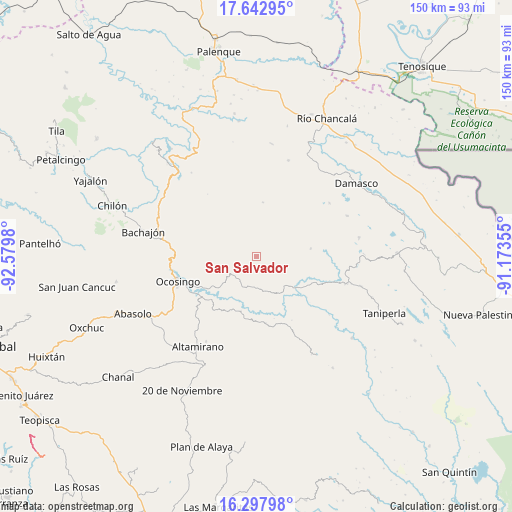
San Salvador GPS coordinates[2]
16° 58' 18.012" North, 91° 52' 36.012" West
| Map corner | latitude | longitude |
|---|---|---|
| Upper-left | 17.64295°, | -92.5798° |
| Center: | 16.97167°, | -91.87667° |
| Lower-right: | 16.29798°, | -91.17355° |
| Map W x H: | 149.5×149.6 km | = 92.9×93mi |
| max Lat: | 32.7° ⇑89.3% North |
| San Salvador: | 16.97167° |
| min Lat: | ⇓10.7% South 14.53588° |
| min Long | San Salvador | max Long |
| -117.105° | -91.87667° | -86.73105° |
| W 95.7%⇐ | ⇒4.3% E |
Elevation
Elevation of San Salvador is 752 m = 2467 ft, and this is 501.7 m = 1646 ft below average elevation for this country.
| Max E: |
3497 m = 11473 ft | 64% |
| Avg. | 1253.7 m = 4113 ft | |
| San Salvador | 752 m = 2467 ft | |
Min E: |
-1 m = -3 ft | 36% |
See also: Mexico elevation on elevation.city.
Geographical zone
San Salvador is located in North Torrid zone (between Equator and Tropic of Cancer). Distance of this Northern Tropic circle is 718.8 km =446.6 mi to North.| Distance of | km | miles | from San Salvador |
|---|---|---|---|
| North Pole | 8120 | 5045.5 | to North |
| Arctic Circle | 5514.1 | 3426.3 | to North |
| Tropic Cancer | 718.8 | 446.6 | to North |
| Equator | 1887.1 | 1172.6 | to South |


Nearby cities:
15 places around San Salvador: (largest is in red/bold)
• Chiquinival
9.2 km =5.7 mi,  283°
283°
• Cinco de Febrero
16 km =9.9 mi,  82°
82°
• El Carmen
17.8 km =11.1 mi,  285°
285°
• Jet-Já
12 km =7.5 mi,  332°
332°
• Jol Sacún
15.9 km =9.9 mi,  6°
6°
• La Reforma
3 km =1.9 mi,  237°
237°
• Miguel Hidalgo
18.7 km =11.6 mi,  69°
69°
• Nazaret
4 km =2.5 mi, 281°
• Nuevo Jerusalén
18 km =11.2 mi, 242°
• Pamal Navil
14.8 km =9.2 mi,  32°
32°
• Sacún Cubwitz
18.8 km =11.7 mi,  338°
338°
• San Antonio las Delicias (Pamala)
9.6 km =6 mi,  178°
178°
• San Miguel
19.7 km =12.2 mi,  171°
171°
• Santiago Pojcol
11.3 km =7 mi, 281°
• Tzobojitle Jotoaquil
20.3 km =12.6 mi, 281°
Sources, notices
• [Note1] Compared only with cities in Mexico existing in our database
• [Src1] Map data: © OpenStreetMap contributors (CC-BY-SA)
• [Src2] Other city data from geonames.org with taken over terms of usage.
• [Src3] Geographical zone / Annual Mean Temperature by Robert A. Rohde @ Wikipedia
