Vao geodata
Vao (South Province) is a populated place; located in New Caledonia in Pacific/Noumea (GMT+11) time zone. With population of 1,862 people, there are 25 cities with bigger population in this country. Compared to other cities in New Caledonia, 100% of cities are located further ↑North; 96.7% of cities are located further ←West and 60% of cities have lower elevation than Vao. Note1


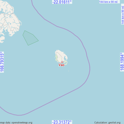
Vao GPS coordinates[2]
22° 39' 59.22" South, 167° 29' 46.572" East
| Map corner | latitude | longitude |
|---|---|---|
| Upper-left | -22.01611°, | 166.79315° |
| Center: | -22.66645°, | 167.49627° |
| Lower-right: | -23.31372°, | 168.1994° |
| Map W x H: | 144.3×144.3 km | = 89.7×89.7mi |
| max Lat: | -19.71161° ⇑100% North |
| Vao: | -22.66645° |
| min Lat: | ⇓0% South -22.66645° |
| min Long | Vao | max Long |
| 163.64702° | 167.49627° | 167.88019° |
| W 96.7%⇐ | ⇒3.3% E |
Elevation
Elevation of Vao is 14 m = 46 ft, and this is 29.3 m = 96 ft below average elevation for this country.
| Max E: |
275 m = 902 ft | 40% |
| Avg. | 43.3 m = 142 ft | |
| Vao | 14 m = 46 ft | |
Min E: |
1 m = 3 ft | 60% |
See also: New Caledonia elevation on elevation.city.
Geographical zone
Vao is located in South Torrid zone (between Equator and Tropic of Capricorn). Distance of this Southern Tropic circle is 85.6 km =53.2 mi to South.| Distance of | km | miles | from Vao |
|---|---|---|---|
| Equator | 2520.3 | 1566 | to North |
| Tropic Capricorn | 85.6 | 53.2 | to South |
| Antarctic Circle | 4880.9 | 3032.8 | to South |
| South Pole | 7486.8 | 4652.1 | to South |


Nearby cities:
15 places around Vao: (largest is in red/bold)
• Bouloupari
173.5 km =107.8 mi,  301°
301°
• Bourail
239.5 km =148.8 mi, 300°
• Canala
203.1 km =126.2 mi,  308°
308°
• Dumbéa
120.9 km =75.1 mi, 297°
• Fayaoué
244.9 km =152.2 mi,  336°
336°
• La Foa
202 km =125.5 mi, 301°
• Moindou
215.4 km =133.8 mi, 299°
• Mont-Dore
105.6 km =65.6 mi, 295°
• Nouméa
116.1 km =72.1 mi,  292°
292°
• Païta
131.4 km =81.6 mi, 296°
• Sarraméa
203.7 km =126.6 mi, 303°
• Tadine
130.5 km =81.1 mi,  17°
17°
• Thio
176 km =109.4 mi, 311°
• Wé
196 km =121.8 mi,  352°
352°
• Yaté-Barrage
85.2 km =52.9 mi, 312°
Sources, notices
• [Note1] Compared only with cities in New Caledonia existing in our database
• [Src1] Map data: © OpenStreetMap contributors (CC-BY-SA)
• [Src2] Other city data from geonames.org with taken over terms of usage.
• [Src3] Geographical zone / Annual Mean Temperature by Robert A. Rohde @ Wikipedia
