Wuyo geodata
Wuyo (Borno) is a populated place; located in Nigeria in Africa/Lagos (GMT+1) time zone. With population of 9,189 people, there are 352 cities with bigger population in this country. Compared to other cities in Nigeria, 67.6% of cities are located further ↓South; 92.7% of cities are located further ←West and 55.1% of cities have lower elevation than Wuyo. Note1


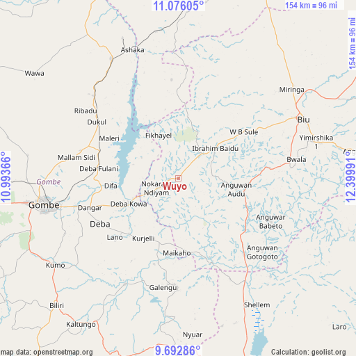
Wuyo GPS coordinates[2]
10° 23' 6.792" North, 11° 41' 48.408" East
| Map corner | latitude | longitude |
|---|---|---|
| Upper-left | 11.07605°, | 10.99366° |
| Center: | 10.38522°, | 11.69678° |
| Lower-right: | 9.69286°, | 12.39991° |
| Map W x H: | 153.8×153.8 km | = 95.6×95.6mi |
| max Lat: | 13.7543° ⇑32.4% North |
| Wuyo: | 10.38522° |
| min Lat: | ⇓67.6% South 4.31231° |
| min Long | Wuyo | max Long |
| 2.73333° | 11.69678° | 14.46552° |
| W 92.7%⇐ | ⇒7.3% E |
Elevation
Elevation of Wuyo is 312 m = 1024 ft, and this is 15.5 m = 51 ft above average elevation for this country.
| Max E: |
1599 m = 5246 ft | 44.9% |
| Wuyo | 312 m 1024 ft | |
| Avg. | 296.5 m = 973 ft | |
Min E: |
2 m = 7 ft | 55.1% |
See also: Nigeria elevation on elevation.city.
Geographical zone
Wuyo is located in North Torrid zone (between Equator and Tropic of Cancer). Distance of Equator is 1154.7 km =717.5 mi to South.| Distance of | km | miles | from Wuyo |
|---|---|---|---|
| North Pole | 8852.3 | 5500.6 | to North |
| Arctic Circle | 6246.4 | 3881.3 | to North |
| Tropic Cancer | 1451.2 | 901.7 | to North |
| Equator | 1154.7 | 717.5 | to South |


Nearby cities:
15 places around Wuyo: (largest is in red/bold)
• Bajoga
59.4 km =36.9 mi,  330°
330°
• Bara
61.3 km =38.1 mi,  358°
358°
• Biu
60 km =37.3 mi,  65°
65°
• Briyel
10.4 km =6.5 mi,  246°
246°
• Deba
39 km =24.2 mi,  240°
240°
• Garko
62.7 km =39 mi, 248°
• Gombe
58.9 km =36.6 mi,  259°
259°
• Guyuk
58.9 km =36.6 mi,  154°
154°
• Hinna
23.4 km =14.5 mi, 247°
• Kwaya Kusar
20.7 km =12.9 mi,  50°
50°
• Mallam Sidi
45.1 km =28 mi,  281°
281°
• Miringa
62.4 km =38.8 mi, 51°
• Shani
43.9 km =27.3 mi,  115°
115°
• Shelleng
64 km =39.8 mi, 148°
• Talasse
46.4 km =28.8 mi,  182°
182°
Sources, notices
• [Note1] Compared only with cities in Nigeria existing in our database
• [Src1] Map data: © OpenStreetMap contributors (CC-BY-SA)
• [Src2] Other city data from geonames.org with taken over terms of usage.
• [Src3] Geographical zone / Annual Mean Temperature by Robert A. Rohde @ Wikipedia
