Ozubulu geodata
Ozubulu (Anambra) is a seat of a second-order administrative division; located in Nigeria in Africa/Lagos (GMT+1) time zone. With population of 73,812 people, there are 123 cities with bigger population in this country. Compared to other cities in Nigeria, 84.3% of cities are located further ↑North; 59.7% of cities are located further →East and 72.5% of cities have higher elevation than Ozubulu. Note1


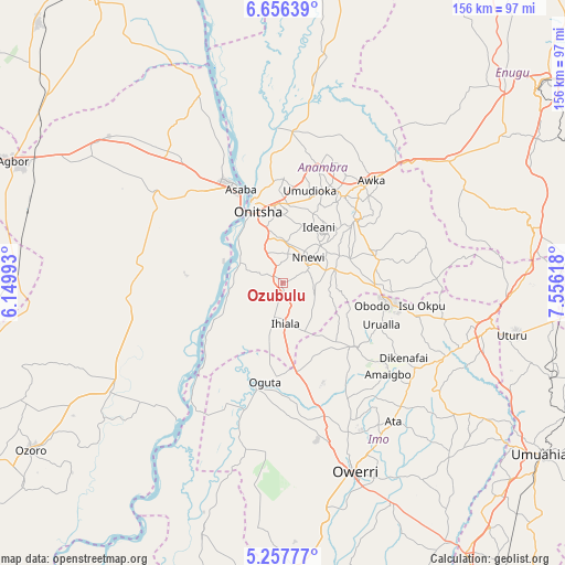
Ozubulu GPS coordinates[2]
5° 57' 27.108" North, 6° 51' 10.98" East
| Map corner | latitude | longitude |
|---|---|---|
| Upper-left | 6.65639°, | 6.14993° |
| Center: | 5.95753°, | 6.85305° |
| Lower-right: | 5.25777°, | 7.55618° |
| Map W x H: | 155.5×155.5 km | = 96.6×96.6mi |
| max Lat: | 13.7543° ⇑84.3% North |
| Ozubulu: | 5.95753° |
| min Lat: | ⇓15.7% South 4.31231° |
| min Long | Ozubulu | max Long |
| 2.73333° | 6.85305° | 14.46552° |
| W 40.3%⇐ | ⇒59.7% E |
Elevation
Elevation of Ozubulu is 135 m = 443 ft, and this is 161.5 m = 530 ft below average elevation for this country.
| Max E: |
1599 m = 5246 ft | 72.5% |
| Avg. | 296.5 m = 973 ft | |
| Ozubulu | 135 m = 443 ft | |
Min E: |
2 m = 7 ft | 27.5% |
See also: Ozubulu elevation on elevation.city.
Geographical zone
Ozubulu is located in North Torrid zone (between Equator and Tropic of Cancer). Distance of Equator is 662.4 km =411.6 mi to South.| Distance of | km | miles | from Ozubulu |
|---|---|---|---|
| North Pole | 9344.6 | 5806.5 | to North |
| Arctic Circle | 6738.8 | 4187.3 | to North |
| Tropic Cancer | 1943.5 | 1207.6 | to North |
| Equator | 662.4 | 411.6 | to South |


Nearby cities:
15 places around Ozubulu: (largest is in red/bold)
• Atani
13.2 km =8.2 mi,  297°
297°
• Awo-Idemili
17.1 km =10.6 mi,  148°
148°
• Igbo-Ukwu
19.7 km =12.2 mi,  70°
70°
• Ihiala
11.4 km =7.1 mi,  176°
176°
• Mgbidi
25.3 km =15.7 mi,  171°
171°
• Neni
24.3 km =15.1 mi,  51°
51°
• Nkpor
21.6 km =13.4 mi,  353°
353°
• Nnewi
9.9 km =6.2 mi, 45°
• Ogidi
21.7 km =13.5 mi,  3°
3°
• Ojoto
11.3 km =7 mi, 4°
• Onitsha
22.6 km =14 mi,  340°
340°
• Uga
25.1 km =15.6 mi,  95°
95°
• Ukpor
8.6 km =5.3 mi, 101°
• Umumma
24.6 km =15.3 mi,  155°
155°
• Uruobo-Okija
6.5 km =4 mi,  189°
189°
Sources, notices
• [Note1] Compared only with cities in Nigeria existing in our database
• [Src1] Map data: © OpenStreetMap contributors (CC-BY-SA)
• [Src2] Other city data from geonames.org with taken over terms of usage.
• [Src3] Geographical zone / Annual Mean Temperature by Robert A. Rohde @ Wikipedia
