Nteje geodata
Nteje (Anambra) is a seat of a second-order administrative division; located in Nigeria in Africa/Lagos (GMT+1) time zone. In our database, there are 451 cities with bigger population. Compared to other cities in Nigeria, 80.6% of cities are located further ↑North; 58.6% of cities are located further →East and 74.3% of cities have higher elevation than Nteje. Note1


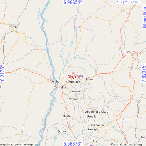
Nteje GPS coordinates[2]
6° 16' 5.16" North, 6° 55' 14.232" East
| Map corner | latitude | longitude |
|---|---|---|
| Upper-left | 6.96654°, | 6.2175° |
| Center: | 6.2681°, | 6.92062° |
| Lower-right: | 5.56873°, | 7.62375° |
| Map W x H: | 155.4×155.4 km | = 96.6×96.6mi |
| max Lat: | 13.7543° ⇑80.6% North |
| Nteje: | 6.2681° |
| min Lat: | ⇓19.4% South 4.31231° |
| min Long | Nteje | max Long |
| 2.73333° | 6.92062° | 14.46552° |
| W 41.4%⇐ | ⇒58.6% E |
Elevation
Elevation of Nteje is 125 m = 410 ft, and this is 171.5 m = 563 ft below average elevation for this country.
| Max E: |
1599 m = 5246 ft | 74.3% |
| Avg. | 296.5 m = 973 ft | |
| Nteje | 125 m = 410 ft | |
Min E: |
2 m = 7 ft | 25.7% |
See also: Nigeria elevation on elevation.city.
Geographical zone
Nteje is located in North Torrid zone (between Equator and Tropic of Cancer). Distance of Equator is 696.9 km =433 mi to South.| Distance of | km | miles | from Nteje |
|---|---|---|---|
| North Pole | 9310.1 | 5785 | to North |
| Arctic Circle | 6704.2 | 4165.8 | to North |
| Tropic Cancer | 1909 | 1186.2 | to North |
| Equator | 696.9 | 433 | to South |


Nearby cities:
15 places around Nteje: (largest is in red/bold)
• Abagana
11.8 km =7.3 mi,  137°
137°
• Achalla
10.5 km =6.5 mi,  45°
45°
• Agulu
24.3 km =15.1 mi, 140°
• Anaku
22.3 km =13.9 mi,  2°
2°
• Asaba
22.3 km =13.9 mi,  249°
249°
• Awka
17.8 km =11.1 mi,  110°
110°
• Enugu-Ukwu
14.2 km =8.8 mi, 138°
• Neni
22.4 km =13.9 mi,  149°
149°
• Nkpor
16.5 km =10.3 mi,  217°
217°
• Nnewi
27.6 km =17.1 mi,  180°
180°
• Ogidi
14.4 km =8.9 mi,  206°
206°
• Ojoto
24.2 km =15 mi,  195°
195°
• Onitsha
19.9 km =12.4 mi,  228°
228°
• Otuocha
11.4 km =7.1 mi,  313°
313°
• Ukpo
7.9 km =4.9 mi, 139°
Sources, notices
• [Note1] Compared only with cities in Nigeria existing in our database
• [Src1] Map data: © OpenStreetMap contributors (CC-BY-SA)
• [Src2] Other city data from geonames.org with taken over terms of usage.
• [Src3] Geographical zone / Annual Mean Temperature by Robert A. Rohde @ Wikipedia
