Ikoyi-Ile geodata
Ikoyi-Ile (Oyo) is a seat of a second-order administrative division; located in Nigeria in Africa/Lagos (GMT+1) time zone. In our database, there are 451 cities with bigger population. Compared to other cities in Nigeria, 50.6% of cities are located further ↑North; 90.8% of cities are located further →East and 67.1% of cities have lower elevation than Ikoyi-Ile. Note1


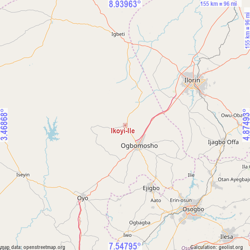
Ikoyi-Ile GPS coordinates[2]
8° 14' 39.84" North, 4° 10' 18.516" East
| Map corner | latitude | longitude |
|---|---|---|
| Upper-left | 8.93963°, | 3.46868° |
| Center: | 8.2444°, | 4.17181° |
| Lower-right: | 7.54795°, | 4.87493° |
| Map W x H: | 154.7×154.7 km | = 96.1×96.1mi |
| max Lat: | 13.7543° ⇑50.6% North |
| Ikoyi-Ile: | 8.2444° |
| min Lat: | ⇓49.4% South 4.31231° |
| min Long | Ikoyi-Ile | max Long |
| 2.73333° | 4.17181° | 14.46552° |
| W 9.2%⇐ | ⇒90.8% E |
Elevation
Elevation of Ikoyi-Ile is 380 m = 1247 ft, and this is 83.5 m = 274 ft above average elevation for this country.
| Max E: |
1599 m = 5246 ft | 32.9% |
| Ikoyi-Ile | 380 m 1247 ft | |
| Avg. | 296.5 m = 973 ft | |
Min E: |
2 m = 7 ft | 67.1% |
See also: Nigeria elevation on elevation.city.
Geographical zone
Ikoyi-Ile is located in North Torrid zone (between Equator and Tropic of Cancer). Distance of Equator is 916.7 km =569.6 mi to South.| Distance of | km | miles | from Ikoyi-Ile |
|---|---|---|---|
| North Pole | 9090.4 | 5648.5 | to North |
| Arctic Circle | 6484.5 | 4029.3 | to North |
| Tropic Cancer | 1689.2 | 1049.6 | to North |
| Equator | 916.7 | 569.6 | to South |


Nearby cities:
15 places around Ikoyi-Ile: (largest is in red/bold)
• Afon
39.9 km =24.8 mi,  78°
78°
• Ajaawa
35.2 km =21.9 mi,  188°
188°
• Alapa
47.5 km =29.5 mi,  29°
29°
• Awo
58.4 km =36.3 mi,  155°
155°
• Bode Osi
55.2 km =34.3 mi,  173°
173°
• Ejigbo
41.1 km =25.5 mi, 157°
• Ifon
54.3 km =33.7 mi,  141°
141°
• Igbeti
56.3 km =35 mi,  355°
355°
• Ilemona
55.8 km =34.7 mi,  105°
105°
• Ilobu
56.7 km =35.2 mi, 142°
• Ilorin
49.5 km =30.8 mi,  55°
55°
• Inisa
47.3 km =29.4 mi, 157°
• Iresa-Adu
29.9 km =18.6 mi,  125°
125°
• Ogbomoso
14.4 km =8.9 mi,  148°
148°
• Oyo
51 km =31.7 mi,  211°
211°
Sources, notices
• [Note1] Compared only with cities in Nigeria existing in our database
• [Src1] Map data: © OpenStreetMap contributors (CC-BY-SA)
• [Src2] Other city data from geonames.org with taken over terms of usage.
• [Src3] Geographical zone / Annual Mean Temperature by Robert A. Rohde @ Wikipedia
