Gombi geodata
Gombi (Adamawa) is a seat of a second-order administrative division; located in Nigeria in Africa/Lagos (GMT+1) time zone. With population of 19,616 people, there are 203 cities with bigger population in this country. Compared to other cities in Nigeria, 65.3% of cities are located further ↓South; 96.6% of cities are located further ←West and 92.9% of cities have lower elevation than Gombi. Note1


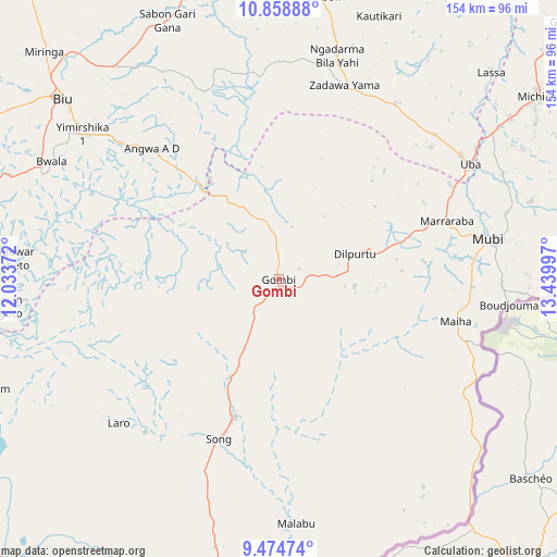
Gombi GPS coordinates[2]
10° 10' 3.216" North, 12° 44' 12.624" East
| Map corner | latitude | longitude |
|---|---|---|
| Upper-left | 10.85888°, | 12.03372° |
| Center: | 10.16756°, | 12.73684° |
| Lower-right: | 9.47474°, | 13.43997° |
| Map W x H: | 153.9×153.9 km | = 95.6×95.6mi |
| max Lat: | 13.7543° ⇑34.7% North |
| Gombi: | 10.16756° |
| min Lat: | ⇓65.3% South 4.31231° |
| min Long | Gombi | max Long |
| 2.73333° | 12.73684° | 14.46552° |
| W 96.6%⇐ | ⇒3.4% E |
Elevation
Elevation of Gombi is 597 m = 1959 ft, and this is 300.5 m = 986 ft above average elevation for this country.
| Max E: |
1599 m = 5246 ft | 7.1% |
| Gombi | 597 m 1959 ft | |
| Avg. | 296.5 m = 973 ft | |
Min E: |
2 m = 7 ft | 92.9% |
See also: Nigeria elevation on elevation.city.
Geographical zone
Gombi is located in North Torrid zone (between Equator and Tropic of Cancer). Distance of Equator is 1130.5 km =702.5 mi to South.| Distance of | km | miles | from Gombi |
|---|---|---|---|
| North Pole | 8876.5 | 5515.6 | to North |
| Arctic Circle | 6270.6 | 3896.4 | to North |
| Tropic Cancer | 1475.4 | 916.8 | to North |
| Equator | 1130.5 | 702.5 | to South |


Nearby cities:
15 places around Gombi: (largest is in red/bold)
• Askira
56.9 km =35.4 mi,  19°
19°
• Azare
63 km =39.1 mi,  309°
309°
• Biu
77.3 km =48 mi, 309°
• Chibok
79 km =49.1 mi,  8°
8°
• Gella
61.6 km =38.3 mi,  91°
91°
• Holma
45.9 km =28.5 mi,  130°
130°
• Hong
22.2 km =13.8 mi,  70°
70°
• Maiha
55.9 km =34.7 mi,  109°
109°
• Michika
87.3 km =54.2 mi,  54°
54°
• Mubi
59.1 km =36.7 mi,  79°
79°
• Shaffa
58.1 km =36.1 mi, 310°
• Shani
74.2 km =46.1 mi,  274°
274°
• Shelleng
85.5 km =53.1 mi,  249°
249°
• Song
39.9 km =24.8 mi,  198°
198°
• Uba
62 km =38.5 mi,  58°
58°
Sources, notices
• [Note1] Compared only with cities in Nigeria existing in our database
• [Src1] Map data: © OpenStreetMap contributors (CC-BY-SA)
• [Src2] Other city data from geonames.org with taken over terms of usage.
• [Src3] Geographical zone / Annual Mean Temperature by Robert A. Rohde @ Wikipedia
