Burutu geodata
Burutu (Delta) is a seat of a second-order administrative division; located in Nigeria in Africa/Lagos (GMT+1) time zone. With population of 16,410 people, there are 225 cities with bigger population in this country. Compared to other cities in Nigeria, 91.2% of cities are located further ↑North; 75.7% of cities are located further →East and 98.5% of cities have higher elevation than Burutu. Note1


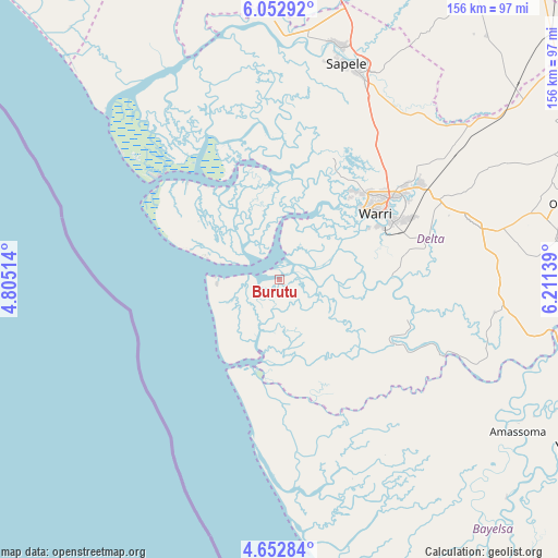
Burutu GPS coordinates[2]
5° 21' 11.808" North, 5° 30' 29.736" East
| Map corner | latitude | longitude |
|---|---|---|
| Upper-left | 6.05292°, | 4.80514° |
| Center: | 5.35328°, | 5.50826° |
| Lower-right: | 4.65284°, | 6.21139° |
| Map W x H: | 155.7×155.7 km | = 96.7×96.7mi |
| max Lat: | 13.7543° ⇑91.2% North |
| Burutu: | 5.35328° |
| min Lat: | ⇓8.8% South 4.31231° |
| min Long | Burutu | max Long |
| 2.73333° | 5.50826° | 14.46552° |
| W 24.3%⇐ | ⇒75.7% E |
Elevation
Elevation of Burutu is 7 m = 23 ft, and this is 289.5 m = 950 ft below average elevation for this country.
| Max E: |
1599 m = 5246 ft | 98.5% |
| Avg. | 296.5 m = 973 ft | |
| Burutu | 7 m = 23 ft | |
Min E: |
2 m = 7 ft | 1.5% |
See also: Nigeria elevation on elevation.city.
Geographical zone
Burutu is located in North Torrid zone (between Equator and Tropic of Cancer). Distance of Equator is 595.2 km =369.8 mi to South.| Distance of | km | miles | from Burutu |
|---|---|---|---|
| North Pole | 9411.8 | 5848.2 | to North |
| Arctic Circle | 6805.9 | 4229 | to North |
| Tropic Cancer | 2010.7 | 1249.4 | to North |
| Equator | 595.2 | 369.8 | to South |


Nearby cities:
15 places around Burutu: (largest is in red/bold)
• Amassoma
79 km =49.1 mi,  122°
122°
• Bomadi
50.7 km =31.5 mi,  114°
114°
• Effurun
38 km =23.6 mi,  53°
53°
• Ekeremor
44.6 km =27.7 mi,  137°
137°
• Isiokolo
60.8 km =37.8 mi,  63°
63°
• Koko
72.2 km =44.9 mi,  355°
355°
• Oghara
67.1 km =41.7 mi,  15°
15°
• Oleh
78.2 km =48.6 mi,  81°
81°
• Orerokpe
52.8 km =32.8 mi, 53°
• Otor-Udu
41.5 km =25.8 mi,  74°
74°
• Otu-Jeremi
42 km =26.1 mi, 77°
• Patani
76.9 km =47.8 mi,  100°
100°
• Sapele
62.9 km =39.1 mi, 17°
• Ughelli
56.9 km =35.4 mi, 74°
• Warri
32.4 km =20.1 mi, 55°
Sources, notices
• [Note1] Compared only with cities in Nigeria existing in our database
• [Src1] Map data: © OpenStreetMap contributors (CC-BY-SA)
• [Src2] Other city data from geonames.org with taken over terms of usage.
• [Src3] Geographical zone / Annual Mean Temperature by Robert A. Rohde @ Wikipedia
