Zeilberg geodata
Zeilberg (North Brabant) is a section of populated place; located in Netherlands in Europe/Amsterdam (GMT+2) time zone. With population of 1,775 people, there are 1027 cities with bigger population in this country. Compared to other cities in Netherlands, 83.6% of cities are located further ↑North; 59% of cities are located further ←West and 87.2% of cities have lower elevation than Zeilberg. Note1


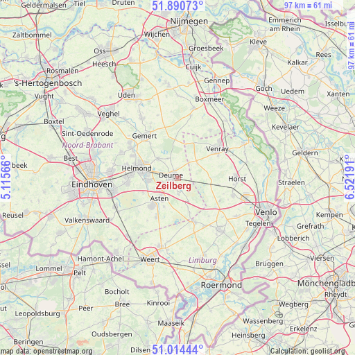
Zeilberg GPS coordinates[2]
51° 27' 16.884" North, 5° 49' 7.608" East
| Map corner | latitude | longitude |
|---|---|---|
| Upper-left | 51.89073°, | 5.11566° |
| Center: | 51.45469°, | 5.81878° |
| Lower-right: | 51.01444°, | 6.52191° |
| Map W x H: | 97.4×97.4 km | = 60.5×60.5mi |
| max Lat: | 53.48025° ⇑83.6% North |
| Zeilberg: | 51.45469° |
| min Lat: | ⇓16.4% South 50.76917° |
| min Long | Zeilberg | max Long |
| 3.38611° | 5.81878° | 7.16528° |
| W 59%⇐ | ⇒41% E |
Elevation
Elevation of Zeilberg is 29 m = 95 ft, and this is 14 m = 46 ft above average elevation for this country.
| Max E: |
203 m = 666 ft | 12.8% |
| Zeilberg | 29 m 95 ft | |
| Avg. | 15 m = 49 ft | |
Min E: |
-6 m = -20 ft | 87.2% |
See also: Netherlands elevation on elevation.city.
Geographical zone
Zeilberg is located in North temperate zone (between Tropic of Cancer and the Arctic Circle). Distance of this North polar circle is 1679.9 km =1043.8 mi to North.| Distance of | km | miles | from Zeilberg |
|---|---|---|---|
| North Pole | 4285.8 | 2663.1 | to North |
| Arctic Circle | 1679.9 | 1043.8 | to North |
| Tropic Cancer | 3115.3 | 1935.8 | to South |
| Equator | 5721.2 | 3555 | to South |


Nearby cities:
15 places around Zeilberg: (largest is in red/bold)
• Asten
7.4 km =4.6 mi,  220°
220°
• Bakel
7.7 km =4.8 mi,  314°
314°
• De Rips
10.6 km =6.6 mi,  356°
356°
• Helenaveen
9.9 km =6.2 mi,  136°
136°
• Heusden
8.7 km =5.4 mi,  205°
205°
• Lierop
10.5 km =6.5 mi,  247°
247°
• Liessel
4.6 km =2.9 mi,  178°
178°
• Milheeze
5.9 km =3.7 mi,  332°
332°
• Neerkant
10.2 km =6.3 mi,  160°
160°
• Ommel
5.9 km =3.7 mi,  235°
235°
• Someren
10.8 km =6.7 mi, 223°
• Veulen
9.8 km =6.1 mi,  71°
71°
• Vlierden
4.3 km =2.7 mi,  255°
255°
• Walsberg
2.5 km =1.6 mi, 332°
• Ysselsteyn
6.7 km =4.2 mi,  54°
54°
Sources, notices
• [Note1] Compared only with cities in Netherlands existing in our database
• [Src1] Map data: © OpenStreetMap contributors (CC-BY-SA)
• [Src2] Other city data from geonames.org with taken over terms of usage.
• [Src3] Geographical zone / Annual Mean Temperature by Robert A. Rohde @ Wikipedia
