Wanroij geodata
Wanroij (North Brabant) is a populated place; located in Netherlands in Europe/Amsterdam (GMT+2) time zone. With population of 2,340 people, there are 883 cities with bigger population in this country. Compared to other cities in Netherlands, 71% of cities are located further ↑North; 58.7% of cities are located further ←West and 70.6% of cities have lower elevation than Wanroij. Note1


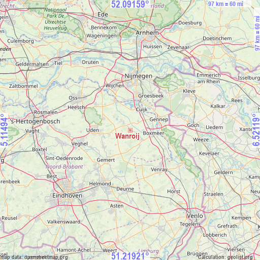
Wanroij GPS coordinates[2]
51° 39' 27" North, 5° 49' 5.016" East
| Map corner | latitude | longitude |
|---|---|---|
| Upper-left | 52.09159°, | 5.11494° |
| Center: | 51.6575°, | 5.81806° |
| Lower-right: | 51.21921°, | 6.52119° |
| Map W x H: | 97×97 km | = 60.3×60.3mi |
| max Lat: | 53.48025° ⇑71% North |
| Wanroij: | 51.6575° |
| min Lat: | ⇓29% South 50.76917° |
| min Long | Wanroij | max Long |
| 3.38611° | 5.81806° | 7.16528° |
| W 58.7%⇐ | ⇒41.3% E |
Elevation
Elevation of Wanroij is 15 m = 49 ft, and this is 0 m = 0 ft above average elevation for this country.
| Max E: |
203 m = 666 ft | 29.4% |
| Wanroij | 15 m 49 ft | |
| Avg. | 15 m = 49 ft | |
Min E: |
-6 m = -20 ft | 70.6% |
See also: Netherlands elevation on elevation.city.
Geographical zone
Wanroij is located in North temperate zone (between Tropic of Cancer and the Arctic Circle). Distance of this North polar circle is 1657.4 km =1029.9 mi to North.| Distance of | km | miles | from Wanroij |
|---|---|---|---|
| North Pole | 4263.3 | 2649.1 | to North |
| Arctic Circle | 1657.4 | 1029.9 | to North |
| Tropic Cancer | 3137.9 | 1949.8 | to South |
| Equator | 5743.8 | 3569 | to South |


Nearby cities:
15 places around Wanroij: (largest is in red/bold)
• Beers
7.6 km =4.7 mi,  5°
5°
• Boxmeer
9 km =5.6 mi,  97°
97°
• Cuijk
9.2 km =5.7 mi,  27°
27°
• Elsendorp
9.2 km =5.7 mi,  201°
201°
• Haps
4.6 km =2.9 mi,  40°
40°
• Langenboom
8 km =5 mi,  310°
310°
• Mook
11.4 km =7.1 mi,  22°
22°
• Odiliapeel
7.9 km =4.9 mi,  258°
258°
• Oploo
6.7 km =4.2 mi,  144°
144°
• Sint Anthonis
5.6 km =3.5 mi,  127°
127°
• Sint Hubert
2.4 km =1.5 mi,  343°
343°
• Venhorst
7.8 km =4.8 mi,  225°
225°
• Vianen
7.3 km =4.5 mi, 21°
• Wilbertoord
3 km =1.9 mi,  266°
266°
• Zeeland
10.7 km =6.6 mi,  294°
294°
Sources, notices
• [Note1] Compared only with cities in Netherlands existing in our database
• [Src1] Map data: © OpenStreetMap contributors (CC-BY-SA)
• [Src2] Other city data from geonames.org with taken over terms of usage.
• [Src3] Geographical zone / Annual Mean Temperature by Robert A. Rohde @ Wikipedia
