Soest geodata
Soest (Utrecht) is a populated place; located in Netherlands in Europe/Amsterdam (GMT+2) time zone. With population of 45,021 people, there are 73 cities with bigger population in this country. Compared to other cities in Netherlands, 58.2% of cities are located further ↓South; 63.7% of cities are located further →East and 50.6% of cities have higher elevation than Soest. Note1


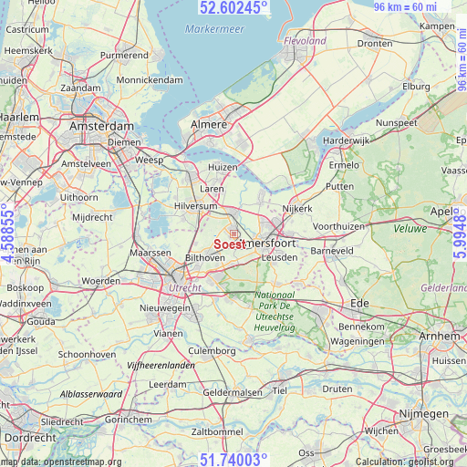
Soest GPS coordinates[2]
52° 10' 23.988" North, 5° 17' 30.012" East
| Map corner | latitude | longitude |
|---|---|---|
| Upper-left | 52.60245°, | 4.58855° |
| Center: | 52.17333°, | 5.29167° |
| Lower-right: | 51.74003°, | 5.9948° |
| Map W x H: | 95.9×95.9 km | = 59.6×59.6mi |
| max Lat: | 53.48025° ⇑41.8% North |
| Soest: | 52.17333° |
| min Lat: | ⇓58.2% South 50.76917° |
| min Long | Soest | max Long |
| 3.38611° | 5.29167° | 7.16528° |
| W 36.3%⇐ | ⇒63.7% E |
Elevation
Elevation of Soest is 6 m = 20 ft, and this is 9 m = 30 ft below average elevation for this country.
| Max E: |
203 m = 666 ft | 50.6% |
| Avg. | 15 m = 49 ft | |
| Soest | 6 m = 20 ft | |
Min E: |
-6 m = -20 ft | 49.4% |
See also: Soest elevation on elevation.city.
Geographical zone
Soest is located in North temperate zone (between Tropic of Cancer and the Arctic Circle). Distance of this North polar circle is 1600 km =994.2 mi to North.| Distance of | km | miles | from Soest |
|---|---|---|---|
| North Pole | 4205.9 | 2613.4 | to North |
| Arctic Circle | 1600 | 994.2 | to North |
| Tropic Cancer | 3195.2 | 1985.4 | to South |
| Equator | 5801.1 | 3604.6 | to South |


Nearby cities:
15 places around Soest: (largest is in red/bold)
• Amersfoort
6.8 km =4.2 mi,  107°
107°
• Baarn
4.3 km =2.7 mi,  356°
356°
• Bosch en Duin
7.2 km =4.5 mi,  208°
208°
• Bunschoten
9.8 km =6.1 mi,  37°
37°
• Eemdijk
9.5 km =5.9 mi,  16°
16°
• Eemnes
9.2 km =5.7 mi,  346°
346°
• Hilversum
9.6 km =6 mi,  305°
305°
• Hollandsche Rading
7.8 km =4.8 mi,  271°
271°
• Hoogland
5.7 km =3.5 mi,  79°
79°
• Langenoord
6.3 km =3.9 mi, 75°
• Maartensdijk
8.2 km =5.1 mi,  255°
255°
• Randenbroek
8 km =5 mi, 110°
• Soestdijk
2 km =1.2 mi, 346°
• Spakenburg
9.9 km =6.2 mi,  30°
30°
• Sterrenberg
6.6 km =4.1 mi,  185°
185°
Sources, notices
• [Note1] Compared only with cities in Netherlands existing in our database
• [Src1] Map data: © OpenStreetMap contributors (CC-BY-SA)
• [Src2] Other city data from geonames.org with taken over terms of usage.
• [Src3] Geographical zone / Annual Mean Temperature by Robert A. Rohde @ Wikipedia
