Maarn geodata
Maarn (Utrecht) is a populated place; located in Netherlands in Europe/Amsterdam (GMT+2) time zone. With population of 4,618 people, there are 521 cities with bigger population in this country. Compared to other cities in Netherlands, 52.6% of cities are located further ↓South; 61.9% of cities are located further →East and 62% of cities have lower elevation than Maarn. Note1


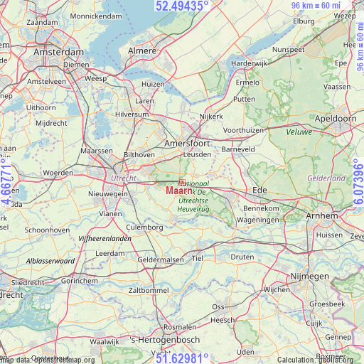
Maarn GPS coordinates[2]
52° 3' 51.012" North, 5° 22' 14.988" East
| Map corner | latitude | longitude |
|---|---|---|
| Upper-left | 52.49435°, | 4.66771° |
| Center: | 52.06417°, | 5.37083° |
| Lower-right: | 51.62981°, | 6.07396° |
| Map W x H: | 96.1×96.1 km | = 59.7×59.7mi |
| max Lat: | 53.48025° ⇑47.4% North |
| Maarn: | 52.06417° |
| min Lat: | ⇓52.6% South 50.76917° |
| min Long | Maarn | max Long |
| 3.38611° | 5.37083° | 7.16528° |
| W 38.1%⇐ | ⇒61.9% E |
Elevation
Elevation of Maarn is 11 m = 36 ft, and this is 4 m = 13 ft below average elevation for this country.
| Max E: |
203 m = 666 ft | 38% |
| Avg. | 15 m = 49 ft | |
| Maarn | 11 m = 36 ft | |
Min E: |
-6 m = -20 ft | 62% |
See also: Netherlands elevation on elevation.city.
Geographical zone
Maarn is located in North temperate zone (between Tropic of Cancer and the Arctic Circle). Distance of this North polar circle is 1612.2 km =1001.8 mi to North.| Distance of | km | miles | from Maarn |
|---|---|---|---|
| North Pole | 4218.1 | 2621 | to North |
| Arctic Circle | 1612.2 | 1001.8 | to North |
| Tropic Cancer | 3183.1 | 1977.9 | to South |
| Equator | 5789 | 3597.1 | to South |


Nearby cities:
15 places around Maarn: (largest is in red/bold)
• Amerongen
9.2 km =5.7 mi,  138°
138°
• Austerlitz
4.2 km =2.6 mi,  294°
294°
• Cothen
8.6 km =5.3 mi,  209°
209°
• Doorn
3.8 km =2.4 mi, 206°
• Driebergen-Rijsenburg
6.3 km =3.9 mi,  258°
258°
• Kerckebosch
7.3 km =4.5 mi,  282°
282°
• Leersum
7 km =4.3 mi,  146°
146°
• Leusden
8.7 km =5.4 mi,  28°
28°
• Maarsbergen
2.5 km =1.6 mi,  105°
105°
• Odijk
9.3 km =5.8 mi, 261°
• Overberg
8.9 km =5.5 mi, 107°
• Randenbroek
9.6 km =6 mi,  12°
12°
• Scherpenzeel
8.3 km =5.2 mi,  77°
77°
• Sterrenberg
8.2 km =5.1 mi,  312°
312°
• Woudenberg
3.6 km =2.2 mi,  59°
59°
Sources, notices
• [Note1] Compared only with cities in Netherlands existing in our database
• [Src1] Map data: © OpenStreetMap contributors (CC-BY-SA)
• [Src2] Other city data from geonames.org with taken over terms of usage.
• [Src3] Geographical zone / Annual Mean Temperature by Robert A. Rohde @ Wikipedia
