Langenboom geodata
Langenboom (North Brabant) is a populated place; located in Netherlands in Europe/Amsterdam (GMT+2) time zone. With population of 1,400 people, there are 1183 cities with bigger population in this country. Compared to other cities in Netherlands, 68.5% of cities are located further ↑North; 53.4% of cities are located further ←West and 74.9% of cities have lower elevation than Langenboom. Note1


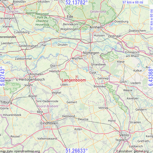
Langenboom GPS coordinates[2]
51° 42' 15.012" North, 5° 43' 50.016" East
| Map corner | latitude | longitude |
|---|---|---|
| Upper-left | 52.13782°, | 5.02743° |
| Center: | 51.70417°, | 5.73056° |
| Lower-right: | 51.26633°, | 6.43368° |
| Map W x H: | 96.9×96.9 km | = 60.2×60.2mi |
| max Lat: | 53.48025° ⇑68.5% North |
| Langenboom: | 51.70417° |
| min Lat: | ⇓31.5% South 50.76917° |
| min Long | Langenboom | max Long |
| 3.38611° | 5.73056° | 7.16528° |
| W 53.4%⇐ | ⇒46.6% E |
Elevation
Elevation of Langenboom is 18 m = 59 ft, and this is 3 m = 10 ft above average elevation for this country.
| Max E: |
203 m = 666 ft | 25.1% |
| Langenboom | 18 m 59 ft | |
| Avg. | 15 m = 49 ft | |
Min E: |
-6 m = -20 ft | 74.9% |
See also: Netherlands elevation on elevation.city.
Geographical zone
Langenboom is located in North temperate zone (between Tropic of Cancer and the Arctic Circle). Distance of this North polar circle is 1652.2 km =1026.6 mi to North.| Distance of | km | miles | from Langenboom |
|---|---|---|---|
| North Pole | 4258.1 | 2645.9 | to North |
| Arctic Circle | 1652.2 | 1026.6 | to North |
| Tropic Cancer | 3143 | 1953 | to South |
| Equator | 5749 | 3572.3 | to South |


Nearby cities:
15 places around Langenboom: (largest is in red/bold)
• Beers
7.1 km =4.4 mi,  70°
70°
• Grave
6.1 km =3.8 mi,  5°
5°
• Hoeven
7.5 km =4.7 mi,  241°
241°
• Melle
8.1 km =5 mi, 235°
• Nederasselt
7.6 km =4.7 mi, 7°
• Odiliapeel
7 km =4.3 mi,  194°
194°
• Overasselt
7.4 km =4.6 mi,  32°
32°
• Raam
8.2 km =5.1 mi,  232°
232°
• Reek
5.7 km =3.5 mi,  324°
324°
• Schaijk
8.2 km =5.1 mi,  304°
304°
• Sint Hubert
6.1 km =3.8 mi,  118°
118°
• Volkel
8.6 km =5.3 mi,  217°
217°
• Wanroij
8 km =5 mi,  130°
130°
• Wilbertoord
6.2 km =3.9 mi,  150°
150°
• Zeeland
3.8 km =2.4 mi,  258°
258°
Sources, notices
• [Note1] Compared only with cities in Netherlands existing in our database
• [Src1] Map data: © OpenStreetMap contributors (CC-BY-SA)
• [Src2] Other city data from geonames.org with taken over terms of usage.
• [Src3] Geographical zone / Annual Mean Temperature by Robert A. Rohde @ Wikipedia
