Gasselte geodata
Gasselte (Drenthe) is a populated place; located in Netherlands in Europe/Amsterdam (GMT+2) time zone. With population of 1,495 people, there are 1134 cities with bigger population in this country. Compared to other cities in Netherlands, 84.8% of cities are located further ↓South; 95.3% of cities are located further ←West and 69% of cities have lower elevation than Gasselte. Note1


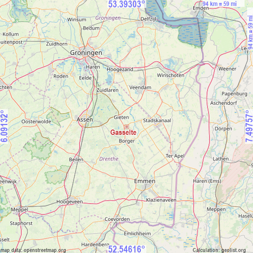
Gasselte GPS coordinates[2]
52° 58' 18.012" North, 6° 47' 39.984" East
| Map corner | latitude | longitude |
|---|---|---|
| Upper-left | 53.39303°, | 6.09132° |
| Center: | 52.97167°, | 6.79444° |
| Lower-right: | 52.54616°, | 7.49757° |
| Map W x H: | 94.2×94.2 km | = 58.5×58.5mi |
| max Lat: | 53.48025° ⇑15.2% North |
| Gasselte: | 52.97167° |
| min Lat: | ⇓84.8% South 50.76917° |
| min Long | Gasselte | max Long |
| 3.38611° | 6.79444° | 7.16528° |
| W 95.3%⇐ | ⇒4.7% E |
Elevation
Elevation of Gasselte is 14 m = 46 ft, and this is 1 m = 3 ft below average elevation for this country.
| Max E: |
203 m = 666 ft | 31% |
| Avg. | 15 m = 49 ft | |
| Gasselte | 14 m = 46 ft | |
Min E: |
-6 m = -20 ft | 69% |
See also: Netherlands elevation on elevation.city.
Geographical zone
Gasselte is located in North temperate zone (between Tropic of Cancer and the Arctic Circle). Distance of this North polar circle is 1511.3 km =939.1 mi to North.| Distance of | km | miles | from Gasselte |
|---|---|---|---|
| North Pole | 4117.2 | 2558.3 | to North |
| Arctic Circle | 1511.3 | 939.1 | to North |
| Tropic Cancer | 3284 | 2040.6 | to South |
| Equator | 5889.9 | 3659.8 | to South |


Nearby cities:
15 places around Gasselte: (largest is in red/bold)
• Annen
10.8 km =6.7 mi,  332°
332°
• Borger
5.4 km =3.4 mi,  180°
180°
• Buinen
5.3 km =3.3 mi,  148°
148°
• Drouwenermond
7.5 km =4.7 mi,  84°
84°
• Eext
6.5 km =4 mi,  321°
321°
• Exloo
11 km =6.8 mi, 154°
• Gasselternijveen
4.3 km =2.7 mi,  64°
64°
• Gasselternijveenschemond
7.4 km =4.6 mi,  69°
69°
• Gieten
4.2 km =2.6 mi, 331°
• Gieterveen
6.8 km =4.2 mi,  24°
24°
• Grolloo
9.1 km =5.7 mi,  243°
243°
• Nieuw-Buinen
10.5 km =6.5 mi,  95°
95°
• Rolde
9.9 km =6.2 mi,  278°
278°
• Stadskanaal
10.6 km =6.6 mi, 79°
• Tweede Exloërmond
11.6 km =7.2 mi,  126°
126°
Sources, notices
• [Note1] Compared only with cities in Netherlands existing in our database
• [Src1] Map data: © OpenStreetMap contributors (CC-BY-SA)
• [Src2] Other city data from geonames.org with taken over terms of usage.
• [Src3] Geographical zone / Annual Mean Temperature by Robert A. Rohde @ Wikipedia
