Namsos geodata
Namsos (Trøndelag) is a seat of a second-order administrative division; located in Norway in Europe/Oslo (GMT+2) time zone. With population of 9,035 people, there are 52 cities with bigger population in this country. Compared to other cities in Norway, 81.3% of cities are located further ↓South; 78.2% of cities are located further ←West and 88.6% of cities have higher elevation than Namsos. Note1


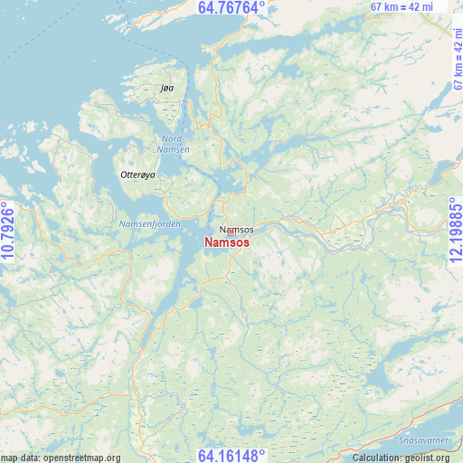
Namsos GPS coordinates[2]
64° 27' 58.464" North, 11° 29' 44.592" East
| Map corner | latitude | longitude |
|---|---|---|
| Upper-left | 64.76764°, | 10.7926° |
| Center: | 64.46624°, | 11.49572° |
| Lower-right: | 64.16148°, | 12.19885° |
| Map W x H: | 67.4×67.4 km | = 41.9×41.9mi |
| max Lat: | 71.04137° ⇑18.7% North |
| Namsos: | 64.46624° |
| min Lat: | ⇓81.3% South 58.0274° |
| min Long | Namsos | max Long |
| 4.71485° | 11.49572° | 31.11066° |
| W 78.2%⇐ | ⇒21.8% E |
Elevation
Elevation of Namsos is 5 m = 16 ft, and this is 99.2 m = 325 ft below average elevation for this country.
| Max E: |
897 m = 2943 ft | 88.6% |
| Avg. | 104.2 m = 342 ft | |
| Namsos | 5 m = 16 ft | |
Min E: |
1 m = 3 ft | 11.4% |
See also: Norway elevation on elevation.city.
Geographical zone
Namsos is located in North temperate zone (between Tropic of Cancer and the Arctic Circle). Distance of this North polar circle is 233.2 km =144.9 mi to North.| Distance of | km | miles | from Namsos |
|---|---|---|---|
| North Pole | 2839.1 | 1764.1 | to North |
| Arctic Circle | 233.2 | 144.9 | to North |
| Tropic Cancer | 4562.1 | 2834.8 | to South |
| Equator | 7168 | 4454 | to South |


Nearby cities:
15 places around Namsos: (largest is in red/bold)
• Bangsund
9.5 km =5.9 mi,  209°
209°
• Grong
39.3 km =24.4 mi,  90°
90°
• Høylandet
42.6 km =26.5 mi,  64°
64°
• Jøa
24.1 km =15 mi,  332°
332°
• Kolvereid
44.7 km =27.8 mi,  6°
6°
• Lauvsnes
29.1 km =18.1 mi,  277°
277°
• Malm
45.4 km =28.2 mi,  196°
196°
• Namdalseid
30.2 km =18.8 mi, 205°
• Ranemsletta
21.9 km =13.6 mi,  81°
81°
• Rørvik
45.6 km =28.3 mi,  344°
344°
• Skage
12.5 km =7.8 mi, 89°
• Snåase
49 km =30.4 mi,  120°
120°
• Sparbu
60.9 km =37.8 mi,  182°
182°
• Steinkjer
50.2 km =31.2 mi, 180°
• Steinsdalen
50.8 km =31.6 mi,  248°
248°
Sources, notices
• [Note1] Compared only with cities in Norway existing in our database
• [Src1] Map data: © OpenStreetMap contributors (CC-BY-SA)
• [Src2] Other city data from geonames.org with taken over terms of usage.
• [Src3] Geographical zone / Annual Mean Temperature by Robert A. Rohde @ Wikipedia
