Hjelmelandsvågen geodata
Hjelmelandsvågen (Rogaland) is a seat of a second-order administrative division; located in Norway in Europe/Oslo (GMT+2) time zone. In our database, there are 488 cities with bigger population. Compared to other cities in Norway, 85.3% of cities are located further ↑North; 80.7% of cities are located further →East and 93% of cities have higher elevation than Hjelmelandsvågen. Note1


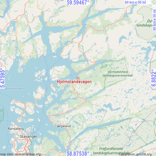
Hjelmelandsvågen GPS coordinates[2]
59° 14' 12.912" North, 6° 10' 44.652" East
| Map corner | latitude | longitude |
|---|---|---|
| Upper-left | 59.59467°, | 5.47595° |
| Center: | 59.23692°, | 6.17907° |
| Lower-right: | 58.87538°, | 6.8822° |
| Map W x H: | 80×80 km | = 49.7×49.7mi |
| max Lat: | 71.04137° ⇑85.3% North |
| Hjelmelandsvågen: | 59.23692° |
| min Lat: | ⇓14.7% South 58.0274° |
| min Long | Hjelmelandsvåg | max Long |
| 4.71485° | 6.17907° | 31.11066° |
| W 19.3%⇐ | ⇒80.7% E |
Elevation
Elevation of Hjelmelandsvågen is 2 m = 7 ft, and this is 102.2 m = 335 ft below average elevation for this country.
| Max E: |
897 m = 2943 ft | 93% |
| Avg. | 104.2 m = 342 ft | |
| Hjelmelandsvågen | 2 m = 7 ft | |
Min E: |
1 m = 3 ft | 7% |
See also: Norway elevation on elevation.city.
Geographical zone
Hjelmelandsvågen is located in North temperate zone (between Tropic of Cancer and the Arctic Circle). Distance of this North polar circle is 814.6 km =506.2 mi to North.| Distance of | km | miles | from Hjelmelandsvågen |
|---|---|---|---|
| North Pole | 3420.5 | 2125.4 | to North |
| Arctic Circle | 814.6 | 506.2 | to North |
| Tropic Cancer | 3980.6 | 2473.4 | to South |
| Equator | 6586.5 | 4092.7 | to South |


Nearby cities:
15 places around Hjelmelandsvågen: (largest is in red/bold)
• Bokn
42.3 km =26.3 mi,  269°
269°
• Forsand
37.3 km =23.2 mi,  186°
186°
• Hommersåk
39.4 km =24.5 mi,  208°
208°
• Judaberg
18.7 km =11.6 mi,  247°
247°
• Jørpeland
25.1 km =15.6 mi,  198°
198°
• Oltedal
46.1 km =28.6 mi, 190°
• Randaberg
41.5 km =25.8 mi,  230°
230°
• Sand
27.8 km =17.3 mi,  8°
8°
• Sandeid
38.6 km =24 mi,  332°
332°
• Skjold
44.7 km =27.8 mi,  311°
311°
• Stavanger
39.1 km =24.3 mi,  220°
220°
• Tau
24.1 km =15 mi, 217°
• Tysvær
40.5 km =25.2 mi,  285°
285°
• Vikevåg
31.5 km =19.6 mi,  240°
240°
• Ølen
45.9 km =28.5 mi, 332°
Sources, notices
• [Note1] Compared only with cities in Norway existing in our database
• [Src1] Map data: © OpenStreetMap contributors (CC-BY-SA)
• [Src2] Other city data from geonames.org with taken over terms of usage.
• [Src3] Geographical zone / Annual Mean Temperature by Robert A. Rohde @ Wikipedia
