Río Hato geodata
Río Hato (Coclé) is a populated place; located in Panama in America/Panama (GMT-5) time zone. With population of 5,615 people, there are 63 cities with bigger population in this country. Compared to other cities in Panama, 59.7% of cities are located further ↑North; 69.1% of cities are located further ←West and 68.9% of cities have higher elevation than Río Hato. Note1


Río Hato GPS coordinates[2]
8° 22' 45.84" North, 80° 9' 58.356" West
| Map corner | latitude | longitude |
|---|---|---|
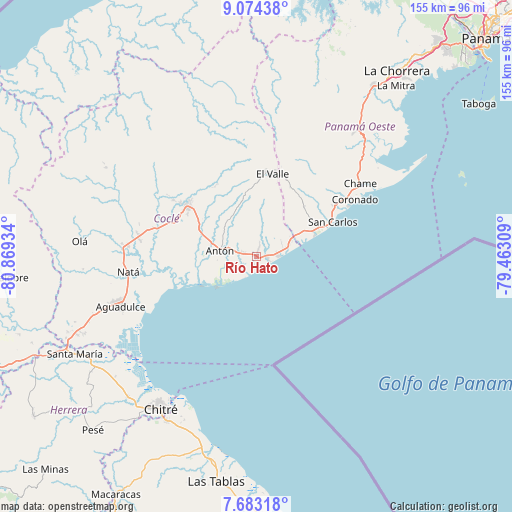
| Upper-left | 9.07438°, | -80.86934° |
| Center: | 8.3794°, | -80.16621° |
| Lower-right: | 7.68318°, | -79.46309° |
| Map W x H: | 154.7×154.7 km | = 96.1×96.1mi |
| max Lat: | 9.60898° ⇑59.7% North |
| Río Hato: | 8.3794° |
| min Lat: | ⇓40.3% South 7.26534° |
| min Long | Río Hato | max Long |
| -82.91275° | -80.16621° | -77.38965° |
| W 69.1%⇐ | ⇒30.9% E |
Elevation
Elevation of Río Hato is 37 m = 121 ft, and this is 135.1 m = 443 ft below average elevation for this country.
| Max E: |
2103 m = 6900 ft | 68.9% |
| Avg. | 172.1 m = 565 ft | |
| Río Hato | 37 m = 121 ft | |
Min E: |
-1 m = -3 ft | 31.1% |
See also: Panama elevation on elevation.city.
Geographical zone
Río Hato is located in North Torrid zone (between Equator and Tropic of Cancer). Distance of Equator is 931.7 km =578.9 mi to South.| Distance of | km | miles | from Río Hato |
|---|---|---|---|
| North Pole | 9075.4 | 5639.2 | to North |
| Arctic Circle | 6469.5 | 4020 | to North |
| Tropic Cancer | 1674.2 | 1040.3 | to North |
| Equator | 931.7 | 578.9 | to South |


Nearby cities:
15 places around Río Hato: (largest is in red/bold)
• Antón
10.6 km =6.6 mi,  280°
280°
• Bijagual
9.8 km =6.1 mi,  264°
264°
• Buen Retiro
8.6 km =5.3 mi,  299°
299°
• El Chirú
3.2 km =2 mi,  312°
312°
• El Retiro
11.3 km =7 mi,  6°
6°
• Farallón
4.1 km =2.5 mi,  128°
128°
• Guabas Arriba
13.9 km =8.6 mi, 312°
• La Ermita
13.7 km =8.5 mi,  51°
51°
• Las Matas
12.9 km =8 mi,  39°
39°
• Llano Grande
10.3 km =6.4 mi,  319°
319°
• Los Pollos
2.4 km =1.5 mi,  24°
24°
• Palo Verde
3.5 km =2.2 mi,  285°
285°
• Pueblo Nuevo
4.1 km =2.5 mi, 281°
• Santa Clara
6.2 km =3.9 mi,  86°
86°
• Santa Rita
12.8 km =8 mi,  351°
351°
Sources, notices
• [Note1] Compared only with cities in Panama existing in our database
• [Src1] Map data: © OpenStreetMap contributors (CC-BY-SA)
• [Src2] Other city data from geonames.org with taken over terms of usage.
• [Src3] Geographical zone / Annual Mean Temperature by Robert A. Rohde @ Wikipedia
