Pedasí geodata
Pedasí (Los Santos) is a populated place; located in Panama in America/Panama (GMT-5) time zone. With population of 1,920 people, there are 126 cities with bigger population in this country. Compared to other cities in Panama, 98.1% of cities are located further ↑North; 72.4% of cities are located further ←West and 59.7% of cities have higher elevation than Pedasí. Note1


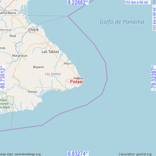
Pedasí GPS coordinates[2]
7° 31' 49.224" North, 80° 1' 37.164" West
| Map corner | latitude | longitude |
|---|---|---|
| Upper-left | 8.22682°, | -80.73012° |
| Center: | 7.53034°, | -80.02699° |
| Lower-right: | 6.83274°, | -79.32387° |
| Map W x H: | 155×155 km | = 96.3×96.3mi |
| max Lat: | 9.60898° ⇑98.1% North |
| Pedasí: | 7.53034° |
| min Lat: | ⇓1.9% South 7.26534° |
| min Long | Pedasí | max Long |
| -82.91275° | -80.02699° | -77.38965° |
| W 72.4%⇐ | ⇒27.6% E |
Elevation
Elevation of Pedasí is 53 m = 174 ft, and this is 119.1 m = 391 ft below average elevation for this country.
| Max E: |
2103 m = 6900 ft | 59.7% |
| Avg. | 172.1 m = 565 ft | |
| Pedasí | 53 m = 174 ft | |
Min E: |
-1 m = -3 ft | 40.3% |
See also: Panama elevation on elevation.city.
Geographical zone
Pedasí is located in North Torrid zone (between Equator and Tropic of Cancer). Distance of Equator is 837.3 km =520.3 mi to South.| Distance of | km | miles | from Pedasí |
|---|---|---|---|
| North Pole | 9169.8 | 5697.8 | to North |
| Arctic Circle | 6563.9 | 4078.6 | to North |
| Tropic Cancer | 1768.6 | 1099 | to North |
| Equator | 837.3 | 520.3 | to South |


Nearby cities:
15 places around Pedasí: (largest is in red/bold)
• Bajo Corral
27 km =16.8 mi,  287°
287°
• Cañas
27.8 km =17.3 mi,  250°
250°
• El Cañafístulo
24.7 km =15.3 mi, 293°
• La Laja
33.4 km =20.8 mi,  311°
311°
• La Miel
33.3 km =20.7 mi,  275°
275°
• La Palma
25.7 km =16 mi, 313°
• Lajamina
13.1 km =8.1 mi,  298°
298°
• Los Asientos
12 km =7.5 mi,  262°
262°
• Mariabé
7.2 km =4.5 mi,  323°
323°
• Nuario
33.1 km =20.6 mi,  270°
270°
• Oria Arriba
19.9 km =12.4 mi, 261°
• Paraíso
22.7 km =14.1 mi, 319°
• Paritilla
19.4 km =12.1 mi, 304°
• Pocrí
17.6 km =10.9 mi, 323°
• San José
28.8 km =17.9 mi, 303°
Sources, notices
• [Note1] Compared only with cities in Panama existing in our database
• [Src1] Map data: © OpenStreetMap contributors (CC-BY-SA)
• [Src2] Other city data from geonames.org with taken over terms of usage.
• [Src3] Geographical zone / Annual Mean Temperature by Robert A. Rohde @ Wikipedia
