Llano Sánchez geodata
Llano Sánchez (Coclé) is a populated place; located in Panama in America/Panama (GMT-5) time zone. With population of 702 people, there are 354 cities with bigger population in this country. Compared to other cities in Panama, 72.5% of cities are located further ↑North; 54.7% of cities are located further →East and 62.1% of cities have higher elevation than Llano Sánchez. Note1


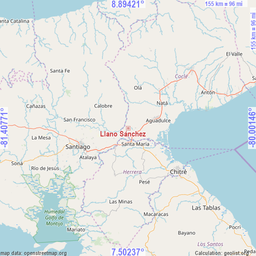
Llano Sánchez GPS coordinates[2]
8° 11' 56.04" North, 80° 42' 16.488" West
| Map corner | latitude | longitude |
|---|---|---|
| Upper-left | 8.89421°, | -81.40771° |
| Center: | 8.1989°, | -80.70458° |
| Lower-right: | 7.50237°, | -80.00146° |
| Map W x H: | 154.8×154.8 km | = 96.2×96.2mi |
| max Lat: | 9.60898° ⇑72.5% North |
| Llano Sánchez: | 8.1989° |
| min Lat: | ⇓27.5% South 7.26534° |
| min Long | Llano Sánchez | max Long |
| -82.91275° | -80.70458° | -77.38965° |
| W 45.3%⇐ | ⇒54.7% E |
Elevation
Elevation of Llano Sánchez is 49 m = 161 ft, and this is 123.1 m = 404 ft below average elevation for this country.
| Max E: |
2103 m = 6900 ft | 62.1% |
| Avg. | 172.1 m = 565 ft | |
| Llano Sánchez | 49 m = 161 ft | |
Min E: |
-1 m = -3 ft | 37.9% |
See also: Panama elevation on elevation.city.
Geographical zone
Llano Sánchez is located in North Torrid zone (between Equator and Tropic of Cancer). Distance of Equator is 911.6 km =566.4 mi to South.| Distance of | km | miles | from Llano Sánchez |
|---|---|---|---|
| North Pole | 9095.4 | 5651.6 | to North |
| Arctic Circle | 6489.5 | 4032.4 | to North |
| Tropic Cancer | 1694.3 | 1052.8 | to North |
| Equator | 911.6 | 566.4 | to South |


Nearby cities:
15 places around Llano Sánchez: (largest is in red/bold)
• Cañazas
6.4 km =4 mi,  192°
192°
• Chupampa
15.8 km =9.8 mi,  210°
210°
• El Barrero
5 km =3.1 mi,  164°
164°
• El Cristo
10.9 km =6.8 mi,  57°
57°
• El Pedernal
10.7 km =6.6 mi,  233°
233°
• El Rincón
13.1 km =8.1 mi,  132°
132°
• El Roble
6.1 km =3.8 mi,  123°
123°
• La Laguna
15.8 km =9.8 mi,  350°
350°
• La Loma
8.2 km =5.1 mi, 115°
• La Raya de Calobre
13.6 km =8.5 mi,  278°
278°
• La Raya de Santa María
13.4 km =8.3 mi,  253°
253°
• Las Guías Abajo
5.6 km =3.5 mi,  264°
264°
• Los Canelos
9.1 km =5.7 mi,  182°
182°
• Salitrosa
7.4 km =4.6 mi,  79°
79°
• Santa María
10.6 km =6.6 mi, 156°
Sources, notices
• [Note1] Compared only with cities in Panama existing in our database
• [Src1] Map data: © OpenStreetMap contributors (CC-BY-SA)
• [Src2] Other city data from geonames.org with taken over terms of usage.
• [Src3] Geographical zone / Annual Mean Temperature by Robert A. Rohde @ Wikipedia
