Llano Grande geodata
Llano Grande (Coclé) is a seat of a third-order administrative division; located in Panama in America/Panama (GMT-5) time zone. With population of 438 people, there are 505 cities with bigger population in this country. Compared to other cities in Panama, 66.8% of cities are located further ↓South; 55.5% of cities are located further ←West and 65.9% of cities have lower elevation than Llano Grande. Note1


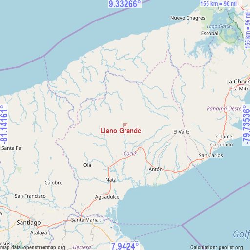
Llano Grande GPS coordinates[2]
8° 38' 17.412" North, 80° 26' 18.528" West
| Map corner | latitude | longitude |
|---|---|---|
| Upper-left | 9.33266°, | -81.14161° |
| Center: | 8.63817°, | -80.43848° |
| Lower-right: | 7.9424°, | -79.73536° |
| Map W x H: | 154.6×154.6 km | = 96.1×96.1mi |
| max Lat: | 9.60898° ⇑33.2% North |
| Llano Grande: | 8.63817° |
| min Lat: | ⇓66.8% South 7.26534° |
| min Long | Llano Grande | max Long |
| -82.91275° | -80.43848° | -77.38965° |
| W 55.5%⇐ | ⇒44.5% E |
Elevation
Elevation of Llano Grande is 128 m = 420 ft, and this is 44.1 m = 145 ft below average elevation for this country.
| Max E: |
2103 m = 6900 ft | 34.1% |
| Avg. | 172.1 m = 565 ft | |
| Llano Grande | 128 m = 420 ft | |
Min E: |
-1 m = -3 ft | 65.9% |
See also: Panama elevation on elevation.city.
Geographical zone
Llano Grande is located in North Torrid zone (between Equator and Tropic of Cancer). Distance of Equator is 960.5 km =596.8 mi to South.| Distance of | km | miles | from Llano Grande |
|---|---|---|---|
| North Pole | 9046.6 | 5621.3 | to North |
| Arctic Circle | 6440.7 | 4002.1 | to North |
| Tropic Cancer | 1645.4 | 1022.4 | to North |
| Equator | 960.5 | 596.8 | to South |


Nearby cities:
15 places around Llano Grande: (largest is in red/bold)
• Bella Vista
11.2 km =7 mi,  161°
161°
• Cañaveral
13.5 km =8.4 mi,  175°
175°
• Chigoré
15.4 km =9.6 mi,  141°
141°
• El Potrero
15.6 km =9.7 mi,  213°
213°
• La Pintada
5.1 km =3.2 mi,  186°
186°
• Las Delicias
13.4 km =8.3 mi, 143°
• Las Minas
4.9 km =3 mi,  86°
86°
• Los Uveros
13.1 km =8.1 mi, 158°
• Machuca
12.2 km =7.6 mi,  261°
261°
• Penonomé
16 km =9.9 mi,  146°
146°
• Piedras Gordas
7.9 km =4.9 mi,  269°
269°
• Sonadora
15.5 km =9.6 mi,  128°
128°
• Tambo
16.1 km =10 mi,  80°
80°
• Toabré
13.1 km =8.1 mi, 83°
• Vista Hermosa
14.2 km =8.8 mi, 150°
Sources, notices
• [Note1] Compared only with cities in Panama existing in our database
• [Src1] Map data: © OpenStreetMap contributors (CC-BY-SA)
• [Src2] Other city data from geonames.org with taken over terms of usage.
• [Src3] Geographical zone / Annual Mean Temperature by Robert A. Rohde @ Wikipedia
