Llano Bonito geodata
Llano Bonito (Herrera) is a seat of a third-order administrative division; located in Panama in America/Panama (GMT-5) time zone. With population of 9,716 people, there are 40 cities with bigger population in this country. Compared to other cities in Panama, 82.6% of cities are located further ↑North; 56.7% of cities are located further ←West and 86.3% of cities have higher elevation than Llano Bonito. Note1


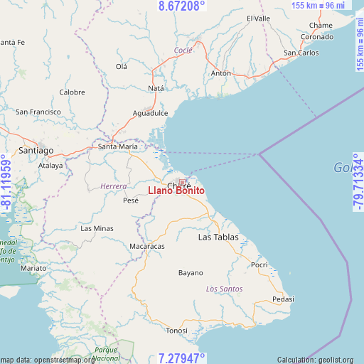
Llano Bonito GPS coordinates[2]
7° 58' 34.932" North, 80° 24' 59.256" West
| Map corner | latitude | longitude |
|---|---|---|
| Upper-left | 8.67208°, | -81.11959° |
| Center: | 7.97637°, | -80.41646° |
| Lower-right: | 7.27947°, | -79.71334° |
| Map W x H: | 154.8×154.8 km | = 96.2×96.2mi |
| max Lat: | 9.60898° ⇑82.6% North |
| Llano Bonito: | 7.97637° |
| min Lat: | ⇓17.4% South 7.26534° |
| min Long | Llano Bonito | max Long |
| -82.91275° | -80.41646° | -77.38965° |
| W 56.7%⇐ | ⇒43.3% E |
Elevation
Elevation of Llano Bonito is 16 m = 52 ft, and this is 156.1 m = 512 ft below average elevation for this country.
| Max E: |
2103 m = 6900 ft | 86.3% |
| Avg. | 172.1 m = 565 ft | |
| Llano Bonito | 16 m = 52 ft | |
Min E: |
-1 m = -3 ft | 13.7% |
See also: Panama elevation on elevation.city.
Geographical zone
Llano Bonito is located in North Torrid zone (between Equator and Tropic of Cancer). Distance of Equator is 886.9 km =551.1 mi to South.| Distance of | km | miles | from Llano Bonito |
|---|---|---|---|
| North Pole | 9120.2 | 5667 | to North |
| Arctic Circle | 6514.3 | 4047.8 | to North |
| Tropic Cancer | 1719 | 1068.1 | to North |
| Equator | 886.9 | 551.1 | to South |


Nearby cities:
15 places around Llano Bonito: (largest is in red/bold)
• Boca de Parita
5.4 km =3.4 mi,  310°
310°
• Chitré
2.2 km =1.4 mi,  219°
219°
• El Barrero
11.7 km =7.3 mi,  245°
245°
• El Ejido
7.4 km =4.6 mi,  153°
153°
• La Arena
5.5 km =3.4 mi,  259°
259°
• La Espigadilla
10.7 km =6.6 mi,  164°
164°
• Llano Largo
7.9 km =4.9 mi,  187°
187°
• Los Hatillos
14.3 km =8.9 mi, 249°
• Los Olivos
10.4 km =6.5 mi,  229°
229°
• Los Santos
4.8 km =3 mi,  180°
180°
• Los Ángeles
12.1 km =7.5 mi, 147°
• Monagrillo
2.4 km =1.5 mi,  284°
284°
• Parita
11.7 km =7.3 mi, 279°
• San Juan Bautista
1.8 km =1.1 mi,  166°
166°
• Santa Ana Arriba
7.6 km =4.7 mi,  129°
129°
Sources, notices
• [Note1] Compared only with cities in Panama existing in our database
• [Src1] Map data: © OpenStreetMap contributors (CC-BY-SA)
• [Src2] Other city data from geonames.org with taken over terms of usage.
• [Src3] Geographical zone / Annual Mean Temperature by Robert A. Rohde @ Wikipedia
