Rioja geodata
Rioja (San Martín) is a seat of a third-order administrative division; located in Peru in America/Lima (GMT-5) time zone. With population of 25,057 people, there are 73 cities with bigger population in this country. Compared to other cities in Peru, 89.6% of cities are located further ↓South; 69.1% of cities are located further →East and 74.3% of cities have higher elevation than Rioja. Note1


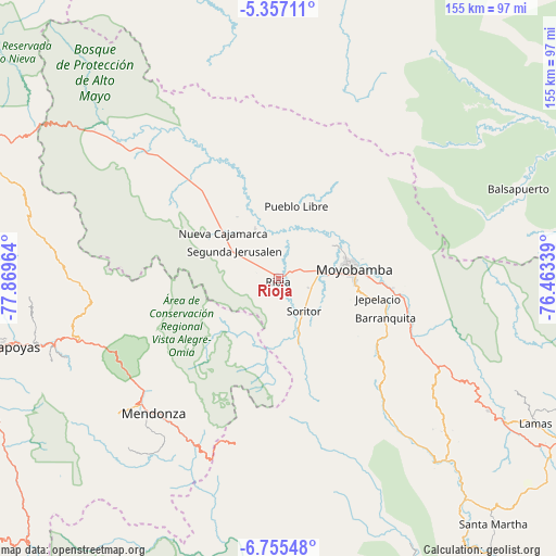
Rioja GPS coordinates[2]
6° 3' 24.3" South, 77° 9' 59.436" West
| Map corner | latitude | longitude |
|---|---|---|
| Upper-left | -5.35711°, | -77.86964° |
| Center: | -6.05675°, | -77.16651° |
| Lower-right: | -6.75548°, | -76.46339° |
| Map W x H: | 155.5×155.5 km | = 96.6×96.6mi |
| max Lat: | -0.96667° ⇑10.4% North |
| Rioja: | -6.05675° |
| min Lat: | ⇓89.6% South -18.01465° |
| min Long | Rioja | max Long |
| -81.30472° | -77.16651° | -69.04167° |
| W 30.9%⇐ | ⇒69.1% E |
Elevation
Elevation of Rioja is 831 m = 2726 ft, and this is 1487.7 m = 4881 ft below average elevation for this country.
| Max E: |
5022 m = 16476 ft | 74.3% |
| Avg. | 2318.7 m = 7607 ft | |
| Rioja | 831 m = 2726 ft | |
Min E: |
1 m = 3 ft | 25.7% |
See also: Peru elevation on elevation.city.
Geographical zone
Rioja is located in South Torrid zone (between Equator and Tropic of Capricorn). Distance of Equator is 673.4 km =418.4 mi to North.| Distance of | km | miles | from Rioja |
|---|---|---|---|
| Equator | 673.4 | 418.4 | to North |
| Tropic Capricorn | 1932.5 | 1200.8 | to South |
| Antarctic Circle | 6727.7 | 4180.4 | to South |
| South Pole | 9333.6 | 5799.6 | to South |


Nearby cities:
15 places around Rioja: (largest is in red/bold)
• Bajo Naranjillo
36 km =22.4 mi,  318°
318°
• Calzada
11.4 km =7.1 mi,  76°
76°
• Granada
51.1 km =31.8 mi,  264°
264°
• Habana
8.8 km =5.5 mi,  108°
108°
• Jepelacio
24.8 km =15.4 mi, 105°
• Mendoza
51.2 km =31.8 mi,  222°
222°
• Moyobamba
21.7 km =13.5 mi, 83°
• Naranjos
50.6 km =31.4 mi,  313°
313°
• Nueva Cajamarca
20.3 km =12.6 mi, 309°
• Omia
52.3 km =32.5 mi,  208°
208°
• Posic
4.8 km =3 mi,  3°
3°
• Soritor
11.5 km =7.1 mi,  142°
142°
• Vista Alegre
18.2 km =11.3 mi,  234°
234°
• Yorongos
9.6 km =6 mi,  164°
164°
• Yuracyacu
15.4 km =9.6 mi,  334°
334°
Sources, notices
• [Note1] Compared only with cities in Peru existing in our database
• [Src1] Map data: © OpenStreetMap contributors (CC-BY-SA)
• [Src2] Other city data from geonames.org with taken over terms of usage.
• [Src3] Geographical zone / Annual Mean Temperature by Robert A. Rohde @ Wikipedia
