Habana geodata
Habana (San Martín) is a seat of a third-order administrative division; located in Peru in America/Lima (GMT-5) time zone. In our database, there are 305 cities with bigger population. Compared to other cities in Peru, 89.5% of cities are located further ↓South; 68.2% of cities are located further →East and 73.9% of cities have higher elevation than Habana. Note1


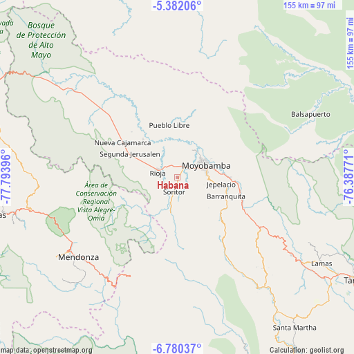
Habana GPS coordinates[2]
6° 4' 54.012" South, 77° 5' 26.988" West
| Map corner | latitude | longitude |
|---|---|---|
| Upper-left | -5.38206°, | -77.79396° |
| Center: | -6.08167°, | -77.09083° |
| Lower-right: | -6.78037°, | -76.38771° |
| Map W x H: | 155.5×155.5 km | = 96.6×96.6mi |
| max Lat: | -0.96667° ⇑10.5% North |
| Habana: | -6.08167° |
| min Lat: | ⇓89.5% South -18.01465° |
| min Long | Habana | max Long |
| -81.30472° | -77.09083° | -69.04167° |
| W 31.8%⇐ | ⇒68.2% E |
Elevation
Elevation of Habana is 843 m = 2766 ft, and this is 1475.7 m = 4842 ft below average elevation for this country.
| Max E: |
5022 m = 16476 ft | 73.9% |
| Avg. | 2318.7 m = 7607 ft | |
| Habana | 843 m = 2766 ft | |
Min E: |
1 m = 3 ft | 26.1% |
See also: Peru elevation on elevation.city.
Geographical zone
Habana is located in South Torrid zone (between Equator and Tropic of Capricorn). Distance of Equator is 676.2 km =420.2 mi to North.| Distance of | km | miles | from Habana |
|---|---|---|---|
| Equator | 676.2 | 420.2 | to North |
| Tropic Capricorn | 1929.7 | 1199.1 | to South |
| Antarctic Circle | 6725 | 4178.7 | to South |
| South Pole | 9330.8 | 5797.9 | to South |


Nearby cities:
15 places around Habana: (largest is in red/bold)
• Bajo Naranjillo
43.8 km =27.2 mi,  312°
312°
• Calzada
6.2 km =3.9 mi,  26°
26°
• Jepelacio
16 km =9.9 mi,  104°
104°
• Mendoza
55.5 km =34.5 mi,  231°
231°
• Moyobamba
14.2 km =8.8 mi,  68°
68°
• Nueva Cajamarca
28.7 km =17.8 mi,  303°
303°
• Omia
54.6 km =33.9 mi,  217°
217°
• Posic
11 km =6.8 mi, 313°
• Rioja
8.8 km =5.5 mi,  288°
288°
• Roque
47.8 km =29.7 mi,  137°
137°
• Soritor
6.6 km =4.1 mi,  192°
192°
• Tabalosos
54 km =33.6 mi,  123°
123°
• Vista Alegre
24.4 km =15.2 mi,  251°
251°
• Yorongos
8.7 km =5.4 mi, 222°
• Yuracyacu
22.5 km =14 mi,  318°
318°
Sources, notices
• [Note1] Compared only with cities in Peru existing in our database
• [Src1] Map data: © OpenStreetMap contributors (CC-BY-SA)
• [Src2] Other city data from geonames.org with taken over terms of usage.
• [Src3] Geographical zone / Annual Mean Temperature by Robert A. Rohde @ Wikipedia
