Bajo Naranjillo geodata
Bajo Naranjillo (San Martín) is a seat of a third-order administrative division; located in Peru in America/Lima (GMT-5) time zone. In our database, there are 305 cities with bigger population. Compared to other cities in Peru, 91.4% of cities are located further ↓South; 71.1% of cities are located further →East and 73.6% of cities have higher elevation than Bajo Naranjillo. Note1


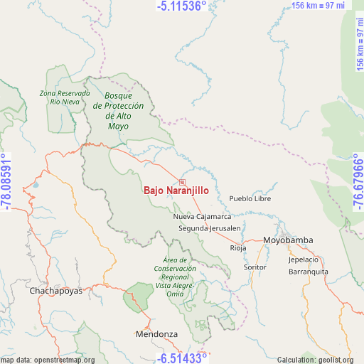
Bajo Naranjillo GPS coordinates[2]
5° 48' 55.008" South, 77° 22' 58.008" West
| Map corner | latitude | longitude |
|---|---|---|
| Upper-left | -5.11536°, | -78.08591° |
| Center: | -5.81528°, | -77.38278° |
| Lower-right: | -6.51433°, | -76.67966° |
| Map W x H: | 155.6×155.6 km | = 96.7×96.7mi |
| max Lat: | -0.96667° ⇑8.6% North |
| Bajo Naranjillo: | -5.81528° |
| min Lat: | ⇓91.4% South -18.01465° |
| min Long | Bajo Naranjillo | max Long |
| -81.30472° | -77.38278° | -69.04167° |
| W 28.9%⇐ | ⇒71.1% E |
Elevation
Elevation of Bajo Naranjillo is 876 m = 2874 ft, and this is 1442.7 m = 4733 ft below average elevation for this country.
| Max E: |
5022 m = 16476 ft | 73.6% |
| Avg. | 2318.7 m = 7607 ft | |
| Bajo Naranjillo | 876 m = 2874 ft | |
Min E: |
1 m = 3 ft | 26.4% |
See also: Peru elevation on elevation.city.
Geographical zone
Bajo Naranjillo is located in South Torrid zone (between Equator and Tropic of Capricorn). Distance of Equator is 646.6 km =401.8 mi to North.| Distance of | km | miles | from Bajo Naranjillo |
|---|---|---|---|
| Equator | 646.6 | 401.8 | to North |
| Tropic Capricorn | 1959.3 | 1217.5 | to South |
| Antarctic Circle | 6754.6 | 4197.1 | to South |
| South Pole | 9360.5 | 5816.3 | to South |


Nearby cities:
15 places around Bajo Naranjillo: (largest is in red/bold)
• Calzada
42.5 km =26.4 mi,  124°
124°
• Chisquilla
39.5 km =24.5 mi,  258°
258°
• Granada
41.5 km =25.8 mi,  220°
220°
• Habana
43.8 km =27.2 mi,  132°
132°
• Moyobamba
51.6 km =32.1 mi, 118°
• Naranjos
15 km =9.3 mi,  302°
302°
• Nueva Cajamarca
16.2 km =10.1 mi,  149°
149°
• Olleros
39 km =24.2 mi,  228°
228°
• Posic
32.8 km =20.4 mi, 132°
• Quinjalca
44.9 km =27.9 mi, 226°
• Rioja
36 km =22.4 mi,  138°
138°
• Soritor
47.4 km =29.5 mi, 139°
• Vista Alegre
38.5 km =23.9 mi,  166°
166°
• Yorongos
44.7 km =27.8 mi, 143°
• Yuracyacu
21.6 km =13.4 mi, 126°
Sources, notices
• [Note1] Compared only with cities in Peru existing in our database
• [Src1] Map data: © OpenStreetMap contributors (CC-BY-SA)
• [Src2] Other city data from geonames.org with taken over terms of usage.
• [Src3] Geographical zone / Annual Mean Temperature by Robert A. Rohde @ Wikipedia
