El Alto geodata
El Alto (Piura) is a populated place; located in Peru in America/Lima (GMT-5) time zone. With population of 9,303 people, there are 149 cities with bigger population in this country. Compared to other cities in Peru, 98.1% of cities are located further ↓South; 99.8% of cities are located further →East and 81.4% of cities have higher elevation than El Alto. Note1


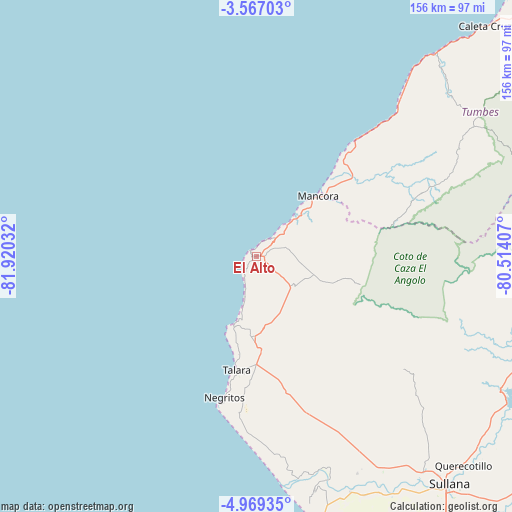
El Alto GPS coordinates[2]
4° 16' 6.636" South, 81° 13' 1.884" West
| Map corner | latitude | longitude |
|---|---|---|
| Upper-left | -3.56703°, | -81.92032° |
| Center: | -4.26851°, | -81.21719° |
| Lower-right: | -4.96935°, | -80.51407° |
| Map W x H: | 155.9×155.9 km | = 96.9×96.9mi |
| max Lat: | -0.96667° ⇑1.9% North |
| El Alto: | -4.26851° |
| min Lat: | ⇓98.1% South -18.01465° |
| min Long | El Alto | max Long |
| -81.30472° | -81.21719° | -69.04167° |
| W 0.2%⇐ | ⇒99.8% E |
Elevation
Elevation of El Alto is 277 m = 909 ft, and this is 2041.7 m = 6698 ft below average elevation for this country.
| Max E: |
5022 m = 16476 ft | 81.4% |
| Avg. | 2318.7 m = 7607 ft | |
| El Alto | 277 m = 909 ft | |
Min E: |
1 m = 3 ft | 18.6% |
See also: Peru elevation on elevation.city.
Geographical zone
El Alto is located in South Torrid zone (between Equator and Tropic of Capricorn). Distance of Equator is 474.6 km =294.9 mi to North.| Distance of | km | miles | from El Alto |
|---|---|---|---|
| Equator | 474.6 | 294.9 | to North |
| Tropic Capricorn | 2131.3 | 1324.3 | to South |
| Antarctic Circle | 6926.6 | 4304 | to South |
| South Pole | 9532.4 | 5923.2 | to South |


Nearby cities:
15 places around El Alto: (largest is in red/bold)
• Amotape
71.7 km =44.6 mi,  161°
161°
• Arenal
71.5 km =44.4 mi, 162°
• Cancas
47.1 km =29.3 mi,  40°
40°
• Cañaveral
72.6 km =45.1 mi,  59°
59°
• La Breita
36.7 km =22.8 mi,  87°
87°
• La Huaca
77 km =47.8 mi, 158°
• Lobitos
22.2 km =13.8 mi,  199°
199°
• Los Organos
14.4 km =8.9 mi,  45°
45°
• Máncora
26 km =16.2 mi, 46°
• Negritos
43.9 km =27.3 mi,  192°
192°
• Papayal
57.3 km =35.6 mi,  68°
68°
• San Jacinto
74.2 km =46.1 mi,  149°
149°
• Sojo
83.2 km =51.7 mi, 147°
• Talara
34.9 km =21.7 mi, 190°
• Tamarindo
72.9 km =45.3 mi, 158°
Sources, notices
• [Note1] Compared only with cities in Peru existing in our database
• [Src1] Map data: © OpenStreetMap contributors (CC-BY-SA)
• [Src2] Other city data from geonames.org with taken over terms of usage.
• [Src3] Geographical zone / Annual Mean Temperature by Robert A. Rohde @ Wikipedia
