La Breita geodata
La Breita (Piura) is a populated place; located in Peru in America/Lima (GMT-5) time zone. With population of 17,693 people, there are 90 cities with bigger population in this country. Compared to other cities in Peru, 98.2% of cities are located further ↓South; 99% of cities are located further →East and 83.1% of cities have higher elevation than La Breita. Note1


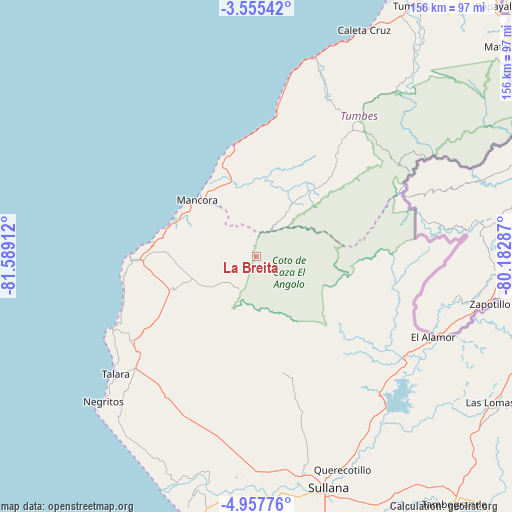
La Breita GPS coordinates[2]
4° 15' 24.876" South, 80° 53' 9.564" West
| Map corner | latitude | longitude |
|---|---|---|
| Upper-left | -3.55542°, | -81.58912° |
| Center: | -4.25691°, | -80.88599° |
| Lower-right: | -4.95776°, | -80.18287° |
| Map W x H: | 155.9×155.9 km | = 96.9×96.9mi |
| max Lat: | -0.96667° ⇑1.8% North |
| La Breita: | -4.25691° |
| min Lat: | ⇓98.2% South -18.01465° |
| min Long | La Breita | max Long |
| -81.30472° | -80.88599° | -69.04167° |
| W 1%⇐ | ⇒99% E |
Elevation
Elevation of La Breita is 232 m = 761 ft, and this is 2086.7 m = 6846 ft below average elevation for this country.
| Max E: |
5022 m = 16476 ft | 83.1% |
| Avg. | 2318.7 m = 7607 ft | |
| La Breita | 232 m = 761 ft | |
Min E: |
1 m = 3 ft | 16.9% |
See also: Peru elevation on elevation.city.
Geographical zone
La Breita is located in South Torrid zone (between Equator and Tropic of Capricorn). Distance of Equator is 473.3 km =294.1 mi to North.| Distance of | km | miles | from La Breita |
|---|---|---|---|
| Equator | 473.3 | 294.1 | to North |
| Tropic Capricorn | 2132.6 | 1325.1 | to South |
| Antarctic Circle | 6927.9 | 4304.8 | to South |
| South Pole | 9533.7 | 5924 | to South |


Nearby cities:
15 places around La Breita: (largest is in red/bold)
• Amotape
70.9 km =44.1 mi,  191°
191°
• Cancas
35 km =21.7 mi,  349°
349°
• Cañaveral
43.7 km =27.2 mi,  36°
36°
• El Alto
36.7 km =22.8 mi,  267°
267°
• Lobitos
49.5 km =30.8 mi,  243°
243°
• Los Organos
27.9 km =17.3 mi,  288°
288°
• Máncora
24.4 km =15.2 mi,  312°
312°
• Negritos
64.1 km =39.8 mi,  226°
226°
• Papayal
25.9 km =16.1 mi, 39°
• Querecotillo
69.9 km =43.4 mi,  157°
157°
• Salitral
70.5 km =43.8 mi, 161°
• San Jacinto
65.2 km =40.5 mi,  179°
179°
• Talara
55.7 km =34.6 mi, 230°
• Tamarindo
69.6 km =43.2 mi, 187°
• Zorritos
68.1 km =42.3 mi,  19°
19°
Sources, notices
• [Note1] Compared only with cities in Peru existing in our database
• [Src1] Map data: © OpenStreetMap contributors (CC-BY-SA)
• [Src2] Other city data from geonames.org with taken over terms of usage.
• [Src3] Geographical zone / Annual Mean Temperature by Robert A. Rohde @ Wikipedia
