Yauca geodata
Yauca (Arequipa) is a seat of a third-order administrative division; located in Peru in America/Lima (GMT-5) time zone. In our database, there are 305 cities with bigger population. Compared to other cities in Peru, 91.6% of cities are located further ↑North; 61.8% of cities are located further ←West and 95.2% of cities have higher elevation than Yauca. Note1


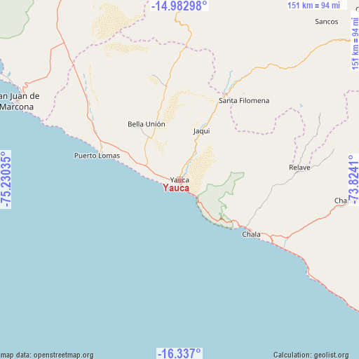
Yauca GPS coordinates[2]
15° 39' 39.996" South, 74° 31' 37.992" West
| Map corner | latitude | longitude |
|---|---|---|
| Upper-left | -14.98298°, | -75.23035° |
| Center: | -15.66111°, | -74.52722° |
| Lower-right: | -16.337°, | -73.8241° |
| Map W x H: | 150.6×150.6 km | = 93.6×93.6mi |
| max Lat: | -0.96667° ⇑91.6% North |
| Yauca: | -15.66111° |
| min Lat: | ⇓8.4% South -18.01465° |
| min Long | Yauca | max Long |
| -81.30472° | -74.52722° | -69.04167° |
| W 61.8%⇐ | ⇒38.2% E |
Elevation
Elevation of Yauca is 27 m = 89 ft, and this is 2291.7 m = 7519 ft below average elevation for this country.
| Max E: |
5022 m = 16476 ft | 95.2% |
| Avg. | 2318.7 m = 7607 ft | |
| Yauca | 27 m = 89 ft | |
Min E: |
1 m = 3 ft | 4.8% |
See also: Peru elevation on elevation.city.
Geographical zone
Yauca is located in South Torrid zone (between Equator and Tropic of Capricorn). Distance of this Southern Tropic circle is 864.6 km =537.2 mi to South.| Distance of | km | miles | from Yauca |
|---|---|---|---|
| Equator | 1741.4 | 1082.1 | to North |
| Tropic Capricorn | 864.6 | 537.2 | to South |
| Antarctic Circle | 5659.8 | 3516.8 | to South |
| South Pole | 8265.7 | 5136.1 | to South |


Nearby cities:
15 places around Yauca: (largest is in red/bold)
• Acarí
27.9 km =17.3 mi,  340°
340°
• Achanizo
62.1 km =38.6 mi,  105°
105°
• Atiquipa
23.1 km =14.4 mi,  130°
130°
• Chala
37.7 km =23.4 mi, 127°
• Chaviña
105.9 km =65.8 mi,  44°
44°
• Chumpi
102.7 km =63.8 mi,  52°
52°
• Coracora
106 km =65.9 mi, 48°
• Minas de Marcona
80 km =49.7 mi,  308°
308°
• Nazca
102.3 km =63.6 mi,  334°
334°
• Pullo
90.8 km =56.4 mi,  57°
57°
• Quicacha
78.1 km =48.5 mi,  87°
87°
• San Juan de Marcona
75.6 km =47 mi,  295°
295°
• San Pedro
109.5 km =68 mi,  24°
24°
• Tambo Quemado
104.5 km =64.9 mi,  350°
350°
• Tocota
46.8 km =29.1 mi, 89°
Sources, notices
• [Note1] Compared only with cities in Peru existing in our database
• [Src1] Map data: © OpenStreetMap contributors (CC-BY-SA)
• [Src2] Other city data from geonames.org with taken over terms of usage.
• [Src3] Geographical zone / Annual Mean Temperature by Robert A. Rohde @ Wikipedia
