Villa Tupac Amaru geodata
Villa Tupac Amaru (Ica) is a populated place; located in Peru in America/Lima (GMT-5) time zone. With population of 11,159 people, there are 135 cities with bigger population in this country. Compared to other cities in Peru, 70.4% of cities are located further ↑North; 54.3% of cities are located further →East and 90.6% of cities have higher elevation than Villa Tupac Amaru. Note1


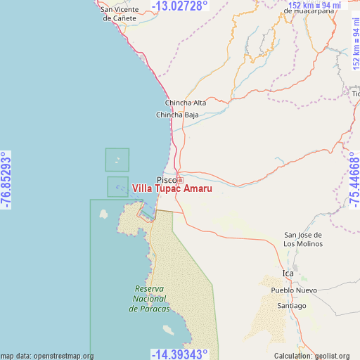
Villa Tupac Amaru GPS coordinates[2]
13° 42' 40.86" South, 76° 8' 59.28" West
| Map corner | latitude | longitude |
|---|---|---|
| Upper-left | -13.02728°, | -76.85293° |
| Center: | -13.71135°, | -76.1498° |
| Lower-right: | -14.39343°, | -75.44668° |
| Map W x H: | 151.9×151.9 km | = 94.4×94.4mi |
| max Lat: | -0.96667° ⇑70.4% North |
| Villa Tupac Amaru: | -13.71135° |
| min Lat: | ⇓29.6% South -18.01465° |
| min Long | Villa Tupac Ama | max Long |
| -81.30472° | -76.1498° | -69.04167° |
| W 45.7%⇐ | ⇒54.3% E |
Elevation
Elevation of Villa Tupac Amaru is 82 m = 269 ft, and this is 2236.7 m = 7338 ft below average elevation for this country.
| Max E: |
5022 m = 16476 ft | 90.6% |
| Avg. | 2318.7 m = 7607 ft | |
| Villa Tupac Amaru | 82 m = 269 ft | |
Min E: |
1 m = 3 ft | 9.4% |
See also: Peru elevation on elevation.city.
Geographical zone
Villa Tupac Amaru is located in South Torrid zone (between Equator and Tropic of Capricorn). Distance of this Southern Tropic circle is 1081.4 km =672 mi to South.| Distance of | km | miles | from Villa Tupac Amaru |
|---|---|---|---|
| Equator | 1524.6 | 947.3 | to North |
| Tropic Capricorn | 1081.4 | 672 | to South |
| Antarctic Circle | 5876.6 | 3651.5 | to South |
| South Pole | 8482.5 | 5270.8 | to South |


Nearby cities:
15 places around Villa Tupac Amaru: (largest is in red/bold)
• Chincha Alta
33.6 km =20.9 mi,  3°
3°
• Chincha Baja
28.1 km =17.5 mi,  357°
357°
• El Carmen
25.8 km =16 mi,  22°
22°
• Guadalupe
50.2 km =31.2 mi,  124°
124°
• Huancano
58.9 km =36.6 mi,  77°
77°
• Humay
27 km =16.8 mi,  91°
91°
• Ica
60.3 km =37.5 mi,  131°
131°
• Independencia
12.6 km =7.8 mi, 84°
• Paracas
21.4 km =13.3 mi,  216°
216°
• Pisco
6 km =3.7 mi,  271°
271°
• San Clemente
5 km =3.1 mi, 359°
• San Juan Bautista
55.7 km =34.6 mi, 126°
• San Pedro
34.8 km =21.6 mi, 358°
• Subtanjalla
54.4 km =33.8 mi, 128°
• Sunampe
31.6 km =19.6 mi, 357°
Sources, notices
• [Note1] Compared only with cities in Peru existing in our database
• [Src1] Map data: © OpenStreetMap contributors (CC-BY-SA)
• [Src2] Other city data from geonames.org with taken over terms of usage.
• [Src3] Geographical zone / Annual Mean Temperature by Robert A. Rohde @ Wikipedia
