Humay geodata
Humay (Ica) is a seat of a third-order administrative division; located in Peru in America/Lima (GMT-5) time zone. In our database, there are 305 cities with bigger population. Compared to other cities in Peru, 70.5% of cities are located further ↑North; 52.3% of cities are located further →East and 77.9% of cities have higher elevation than Humay. Note1


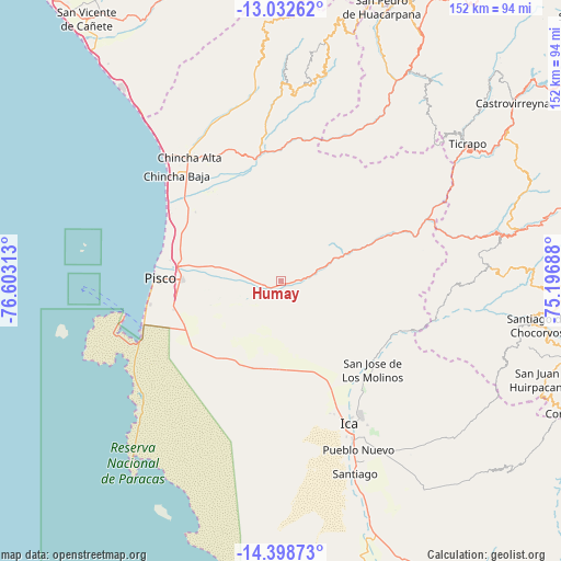
Humay GPS coordinates[2]
13° 43' 0.012" South, 75° 54' 0" West
| Map corner | latitude | longitude |
|---|---|---|
| Upper-left | -13.03262°, | -76.60313° |
| Center: | -13.71667°, | -75.9° |
| Lower-right: | -14.39873°, | -75.19688° |
| Map W x H: | 151.9×151.9 km | = 94.4×94.4mi |
| max Lat: | -0.96667° ⇑70.5% North |
| Humay: | -13.71667° |
| min Lat: | ⇓29.5% South -18.01465° |
| min Long | Humay | max Long |
| -81.30472° | -75.9° | -69.04167° |
| W 47.7%⇐ | ⇒52.3% E |
Elevation
Elevation of Humay is 496 m = 1627 ft, and this is 1822.7 m = 5980 ft below average elevation for this country.
| Max E: |
5022 m = 16476 ft | 77.9% |
| Avg. | 2318.7 m = 7607 ft | |
| Humay | 496 m = 1627 ft | |
Min E: |
1 m = 3 ft | 22.1% |
See also: Peru elevation on elevation.city.
Geographical zone
Humay is located in South Torrid zone (between Equator and Tropic of Capricorn). Distance of this Southern Tropic circle is 1080.8 km =671.6 mi to South.| Distance of | km | miles | from Humay |
|---|---|---|---|
| Equator | 1525.2 | 947.7 | to North |
| Tropic Capricorn | 1080.8 | 671.6 | to South |
| Antarctic Circle | 5876 | 3651.2 | to South |
| South Pole | 8481.9 | 5270.4 | to South |


Nearby cities:
15 places around Humay: (largest is in red/bold)
• Chincha Alta
42.4 km =26.3 mi,  323°
323°
• Chincha Baja
40.4 km =25.1 mi, 315°
• El Carmen
29.7 km =18.5 mi,  325°
325°
• Guadalupe
31.3 km =19.4 mi,  152°
152°
• Huancano
33.2 km =20.6 mi,  67°
67°
• Ica
43.2 km =26.8 mi, 154°
• Independencia
14.5 km =9 mi,  277°
277°
• La Tinguiña
41.5 km =25.8 mi, 148°
• Paracas
43 km =26.7 mi,  247°
247°
• Pisco
33 km =20.5 mi,  271°
271°
• San Clemente
27.6 km =17.1 mi, 281°
• San Juan Bautista
37.2 km =23.1 mi, 151°
• Subtanjalla
36.9 km =22.9 mi,  155°
155°
• Sunampe
43 km =26.7 mi, 318°
• Villa Tupac Amaru
27 km =16.8 mi, 271°
Sources, notices
• [Note1] Compared only with cities in Peru existing in our database
• [Src1] Map data: © OpenStreetMap contributors (CC-BY-SA)
• [Src2] Other city data from geonames.org with taken over terms of usage.
• [Src3] Geographical zone / Annual Mean Temperature by Robert A. Rohde @ Wikipedia
