Ocoyo geodata
Ocoyo (Huancavelica) is a seat of a third-order administrative division; located in Peru in America/Lima (GMT-5) time zone. In our database, there are 305 cities with bigger population. Compared to other cities in Peru, 73.9% of cities are located further ↑North; 58.6% of cities are located further ←West and 66.4% of cities have higher elevation than Ocoyo. Note1


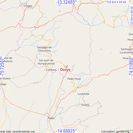
Ocoyo GPS coordinates[2]
14° 0' 29.016" South, 75° 1' 18.984" West
| Map corner | latitude | longitude |
|---|---|---|
| Upper-left | -13.32485°, | -75.72507° |
| Center: | -14.00806°, | -75.02194° |
| Lower-right: | -14.68925°, | -74.31882° |
| Map W x H: | 151.7×151.7 km | = 94.3×94.3mi |
| max Lat: | -0.96667° ⇑73.9% North |
| Ocoyo: | -14.00806° |
| min Lat: | ⇓26.1% South -18.01465° |
| min Long | Ocoyo | max Long |
| -81.30472° | -75.02194° | -69.04167° |
| W 58.6%⇐ | ⇒41.4% E |
Elevation
Elevation of Ocoyo is 1922 m = 6306 ft, and this is 396.7 m = 1302 ft below average elevation for this country.
| Max E: |
5022 m = 16476 ft | 66.4% |
| Avg. | 2318.7 m = 7607 ft | |
| Ocoyo | 1922 m = 6306 ft | |
Min E: |
1 m = 3 ft | 33.6% |
See also: Peru elevation on elevation.city.
Geographical zone
Ocoyo is located in South Torrid zone (between Equator and Tropic of Capricorn). Distance of this Southern Tropic circle is 1048.4 km =651.4 mi to South.| Distance of | km | miles | from Ocoyo |
|---|---|---|---|
| Equator | 1557.6 | 967.8 | to North |
| Tropic Capricorn | 1048.4 | 651.4 | to South |
| Antarctic Circle | 5843.6 | 3631 | to South |
| South Pole | 8449.5 | 5250.3 | to South |


Nearby cities:
15 places around Ocoyo: (largest is in red/bold)
• El Ingenio
71 km =44.1 mi,  183°
183°
• Huayacundo Arma
60.7 km =37.7 mi,  329°
329°
• Laramate
31.7 km =19.7 mi,  148°
148°
• Llauta
30.9 km =19.2 mi,  158°
158°
• Llipata
65 km =40.4 mi,  197°
197°
• Los Aquijes
72.8 km =45.2 mi,  262°
262°
• Ocaña
47.2 km =29.3 mi, 152°
• Otoca
63.2 km =39.3 mi, 146°
• Palpa
61 km =37.9 mi, 196°
• Quito-Arma
62.6 km =38.9 mi, 327°
• Rosario de Yauca
61.2 km =38 mi, 256°
• Río Grande
59.6 km =37 mi, 198°
• Tibillo
18.7 km =11.6 mi,  239°
239°
• Totos
72.8 km =45.2 mi,  47°
47°
• Vilcanchos
68.9 km =42.8 mi, 50°
Sources, notices
• [Note1] Compared only with cities in Peru existing in our database
• [Src1] Map data: © OpenStreetMap contributors (CC-BY-SA)
• [Src2] Other city data from geonames.org with taken over terms of usage.
• [Src3] Geographical zone / Annual Mean Temperature by Robert A. Rohde @ Wikipedia
