Tiniguiban geodata
Tiniguiban (Mimaropa) is a populated place; located in Philippines in Asia/Manila (GMT+8) time zone. With population of 3,267 people, there are 2241 cities with bigger population in this country. Compared to other cities in Philippines, 52.8% of cities are located further ↑North; 98.7% of cities are located further →East and 89.7% of cities have higher elevation than Tiniguiban. Note1
Administrative division(s):
- Level 1: Mimaropa
- Level 2: Province of Palawan
- Level 3: El Nido (Bacuit)


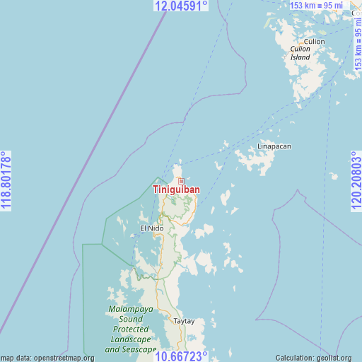
Tiniguiban GPS coordinates[2]
11° 21' 26.64" North, 119° 30' 17.64" East
| Map corner | latitude | longitude |
|---|---|---|
| Upper-left | 12.04591°, | 118.80178° |
| Center: | 11.3574°, | 119.5049° |
| Lower-right: | 10.66723°, | 120.20803° |
| Map W x H: | 153.3×153.3 km | = 95.3×95.3mi |
| max Lat: | 20.78733° ⇑52.8% North |
| Tiniguiban: | 11.3574° |
| min Lat: | ⇓47.2% South 4.65442° |
| min Long | Tiniguiban | max Long |
| 117.04868° | 119.5049° | 126.58417° |
| W 1.3%⇐ | ⇒98.7% E |
Elevation
Elevation of Tiniguiban is 7 m = 23 ft, and this is 80.9 m = 265 ft below average elevation for this country.
| Max E: |
2262 m = 7421 ft | 89.7% |
| Avg. | 87.9 m = 288 ft | |
| Tiniguiban | 7 m = 23 ft | |
Min E: |
-2 m = -7 ft | 10.3% |
See also: Philippines elevation on elevation.city.
Geographical zone
Tiniguiban is located in North Torrid zone (between Equator and Tropic of Cancer). Distance of Equator is 1262.8 km =784.7 mi to South.| Distance of | km | miles | from Tiniguiban |
|---|---|---|---|
| North Pole | 8744.2 | 5433.4 | to North |
| Arctic Circle | 6138.3 | 3814.2 | to North |
| Tropic Cancer | 1343.1 | 834.6 | to North |
| Equator | 1262.8 | 784.7 | to South |


Nearby cities:
15 places around Tiniguiban: (largest is in red/bold)
• Alemanguan
85.2 km =52.9 mi,  193°
193°
• Bato
59.3 km =36.8 mi,  183°
183°
• Bulalacao
84.4 km =52.4 mi,  59°
59°
• Calauag
77 km =47.8 mi,  174°
174°
• Casian
42.5 km =26.4 mi,  147°
147°
• Dumaran
96.9 km =60.2 mi,  162°
162°
• El Nido
22.5 km =14 mi,  212°
212°
• Guinlo
62.3 km =38.7 mi, 186°
• Limanancong
43.9 km =27.3 mi,  201°
201°
• New Agutaya
91.1 km =56.6 mi, 193°
• Pancol
54.9 km =34.1 mi, 190°
• Panlaitan
92.6 km =57.5 mi,  23°
23°
• San Miguel
42.6 km =26.5 mi,  69°
69°
• San Vicente
95.9 km =59.6 mi, 196°
• Taytay
60 km =37.3 mi, 180°
Sources, notices
• [Note1] Compared only with cities in Philippines existing in our database
• [Src1] Map data: © OpenStreetMap contributors (CC-BY-SA)
• [Src2] Other city data from geonames.org with taken over terms of usage.
• [Src3] Geographical zone / Annual Mean Temperature by Robert A. Rohde @ Wikipedia
