Tampayan geodata
Tampayan (Mimaropa) is a populated place; located in Philippines in Asia/Manila (GMT+8) time zone. With population of 2,839 people, there are 2723 cities with bigger population in this country. Compared to other cities in Philippines, 54.8% of cities are located further ↓South; 54.1% of cities are located further →East and 67.5% of cities have lower elevation than Tampayan. Note1


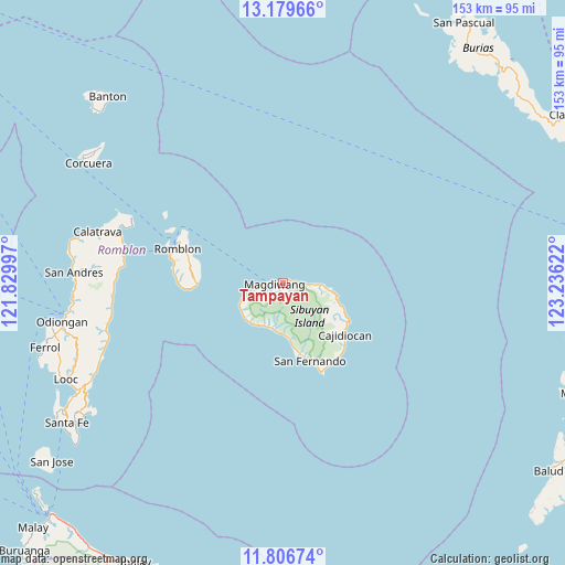
Tampayan GPS coordinates[2]
12° 29' 38.796" North, 122° 31' 59.124" East
| Map corner | latitude | longitude |
|---|---|---|
| Upper-left | 13.17966°, | 121.82997° |
| Center: | 12.49411°, | 122.53309° |
| Lower-right: | 11.80674°, | 123.23622° |
| Map W x H: | 152.7×152.7 km | = 94.9×94.9mi |
| max Lat: | 20.78733° ⇑45.2% North |
| Tampayan: | 12.49411° |
| min Lat: | ⇓54.8% South 4.65442° |
| min Long | Tampayan | max Long |
| 117.04868° | 122.53309° | 126.58417° |
| W 45.9%⇐ | ⇒54.1% E |
Elevation
Elevation of Tampayan is 47 m = 154 ft, and this is 40.9 m = 134 ft below average elevation for this country.
| Max E: |
2262 m = 7421 ft | 32.5% |
| Avg. | 87.9 m = 288 ft | |
| Tampayan | 47 m = 154 ft | |
Min E: |
-2 m = -7 ft | 67.5% |
See also: Philippines elevation on elevation.city.
Geographical zone
Tampayan is located in North Torrid zone (between Equator and Tropic of Cancer). Distance of this Northern Tropic circle is 1216.7 km =756 mi to North.| Distance of | km | miles | from Tampayan |
|---|---|---|---|
| North Pole | 8617.8 | 5354.9 | to North |
| Arctic Circle | 6012 | 3735.7 | to North |
| Tropic Cancer | 1216.7 | 756 | to North |
| Equator | 1389.2 | 863.2 | to South |


Nearby cities:
15 places around Tampayan: (largest is in red/bold)
• Alad
33.9 km =21.1 mi,  293°
293°
• Cajidiocan
21.4 km =13.3 mi,  131°
131°
• Cajimos
30.1 km =18.7 mi, 291°
• Calatrava
52 km =32.3 mi, 285°
• Carmen
46.8 km =29.1 mi, 287°
• Concepcion
48.9 km =30.4 mi,  257°
257°
• Dobdoban
46.4 km =28.8 mi,  281°
281°
• España
12.8 km =8 mi,  196°
196°
• Magdiwang
2.3 km =1.4 mi,  239°
239°
• Pato-o
51.2 km =31.8 mi, 262°
• Romblon
29.9 km =18.6 mi, 287°
• San Agustin
44.4 km =27.6 mi, 280°
• San Fernando
22.4 km =13.9 mi,  160°
160°
• Sogod
19.3 km =12 mi, 132°
• Taclobo
21.5 km =13.4 mi, 164°
Sources, notices
• [Note1] Compared only with cities in Philippines existing in our database
• [Src1] Map data: © OpenStreetMap contributors (CC-BY-SA)
• [Src2] Other city data from geonames.org with taken over terms of usage.
• [Src3] Geographical zone / Annual Mean Temperature by Robert A. Rohde @ Wikipedia
