Solo geodata
Solo (Calabarzon) is a populated place; located in Philippines in Asia/Manila (GMT+8) time zone. With population of 3,065 people, there are 2452 cities with bigger population in this country. Compared to other cities in Philippines, 64.9% of cities are located further ↓South; 79.4% of cities are located further →East and 56.1% of cities have higher elevation than Solo. Note1


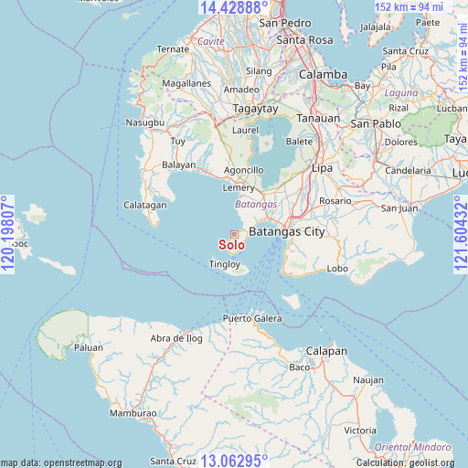
Solo GPS coordinates[2]
13° 44' 48.876" North, 120° 54' 4.284" East
| Map corner | latitude | longitude |
|---|---|---|
| Upper-left | 14.42888°, | 120.19807° |
| Center: | 13.74691°, | 120.90119° |
| Lower-right: | 13.06295°, | 121.60432° |
| Map W x H: | 151.9×151.9 km | = 94.4×94.4mi |
| max Lat: | 20.78733° ⇑35.1% North |
| Solo: | 13.74691° |
| min Lat: | ⇓64.9% South 4.65442° |
| min Long | Solo | max Long |
| 117.04868° | 120.90119° | 126.58417° |
| W 20.6%⇐ | ⇒79.4% E |
Elevation
Elevation of Solo is 19 m = 62 ft, and this is 68.9 m = 226 ft below average elevation for this country.
| Max E: |
2262 m = 7421 ft | 56.1% |
| Avg. | 87.9 m = 288 ft | |
| Solo | 19 m = 62 ft | |
Min E: |
-2 m = -7 ft | 43.9% |
See also: Philippines elevation on elevation.city.
Geographical zone
Solo is located in North Torrid zone (between Equator and Tropic of Cancer). Distance of this Northern Tropic circle is 1077.4 km =669.5 mi to North.| Distance of | km | miles | from Solo |
|---|---|---|---|
| North Pole | 8478.5 | 5268.3 | to North |
| Arctic Circle | 5872.7 | 3649.1 | to North |
| Tropic Cancer | 1077.4 | 669.5 | to North |
| Equator | 1528.5 | 949.8 | to South |


Nearby cities:
15 places around Solo: (largest is in red/bold)
• Bagalangit
4.4 km =2.7 mi,  203°
203°
• Bauan
12.6 km =7.8 mi,  66°
66°
• Bolo
9.9 km =6.2 mi,  61°
61°
• Calumpang
13.3 km =8.3 mi,  37°
37°
• Inicbulan
12.1 km =7.5 mi,  47°
47°
• Lemery
15 km =9.3 mi,  5°
5°
• Mabini
4.3 km =2.7 mi,  80°
80°
• San Jose
12.8 km =8 mi,  24°
24°
• San Luis
12.1 km =7.5 mi, 7°
• San Pascual
14.8 km =9.2 mi, 61°
• Santa Rita Aplaya
14.7 km =9.1 mi, 79°
• Sinala
10.3 km =6.4 mi, 50°
• Taal
15 km =9.3 mi, 9°
• Talaga
4 km =2.5 mi,  107°
107°
• Tingloy
10.1 km =6.3 mi, 198°
Sources, notices
• [Note1] Compared only with cities in Philippines existing in our database
• [Src1] Map data: © OpenStreetMap contributors (CC-BY-SA)
• [Src2] Other city data from geonames.org with taken over terms of usage.
• [Src3] Geographical zone / Annual Mean Temperature by Robert A. Rohde @ Wikipedia
