Piñahan geodata
Piñahan (Central Luzon) is a populated place; located in Philippines in Asia/Manila (GMT+8) time zone. With population of 3,005 people, there are 2523 cities with bigger population in this country. Compared to other cities in Philippines, 83.1% of cities are located further ↓South; 74.7% of cities are located further →East and 74.9% of cities have lower elevation than Piñahan. Note1
Administrative division(s):
- Level 1: Central Luzon
- Level 2: Province of Nueva Ecija
- Level 3: General Mamerto Natividad


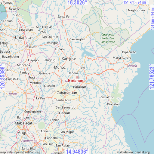
Piñahan GPS coordinates[2]
15° 37' 35.76" North, 121° 3' 43.56" East
| Map corner | latitude | longitude |
|---|---|---|
| Upper-left | 16.3026°, | 120.35898° |
| Center: | 15.6266°, | 121.0621° |
| Lower-right: | 14.94836°, | 121.76523° |
| Map W x H: | 150.6×150.6 km | = 93.6×93.6mi |
| max Lat: | 20.78733° ⇑16.9% North |
| Piñahan: | 15.6266° |
| min Lat: | ⇓83.1% South 4.65442° |
| min Long | Piñahan | max Long |
| 117.04868° | 121.0621° | 126.58417° |
| W 25.3%⇐ | ⇒74.7% E |
Elevation
Elevation of Piñahan is 68 m = 223 ft, and this is 19.9 m = 65 ft below average elevation for this country.
| Max E: |
2262 m = 7421 ft | 25.1% |
| Avg. | 87.9 m = 288 ft | |
| Piñahan | 68 m = 223 ft | |
Min E: |
-2 m = -7 ft | 74.9% |
See also: Philippines elevation on elevation.city.
Geographical zone
Piñahan is located in North Torrid zone (between Equator and Tropic of Cancer). Distance of this Northern Tropic circle is 868.4 km =539.6 mi to North.| Distance of | km | miles | from Piñahan |
|---|---|---|---|
| North Pole | 8269.5 | 5138.4 | to North |
| Arctic Circle | 5663.7 | 3519.3 | to North |
| Tropic Cancer | 868.4 | 539.6 | to North |
| Equator | 1737.5 | 1079.6 | to South |


Nearby cities:
15 places around Piñahan: (largest is in red/bold)
• Agbannawag
6.3 km =3.9 mi,  21°
21°
• Bicos
4.3 km =2.7 mi,  329°
329°
• Bongabon
8.9 km =5.5 mi,  86°
86°
• Del Pilar
8.1 km =5 mi, 18°
• General Mamerto Natividad
2.9 km =1.8 mi,  202°
202°
• Llanera
6.2 km =3.9 mi,  311°
311°
• Mabini
8.9 km =5.5 mi,  250°
250°
• Macapsing
9.4 km =5.8 mi,  52°
52°
• Paco Roman
4.6 km =2.9 mi,  36°
36°
• Palayan City
9.8 km =6.1 mi,  165°
165°
• Plaridel
5.7 km =3.5 mi, 308°
• Rizal
10.6 km =6.6 mi,  26°
26°
• Sagana
11.6 km =7.2 mi,  123°
123°
• San Ricardo
10.2 km =6.3 mi, 250°
• Sapang Buho
7.8 km =4.8 mi, 121°
Sources, notices
• [Note1] Compared only with cities in Philippines existing in our database
• [Src1] Map data: © OpenStreetMap contributors (CC-BY-SA)
• [Src2] Other city data from geonames.org with taken over terms of usage.
• [Src3] Geographical zone / Annual Mean Temperature by Robert A. Rohde @ Wikipedia
