Pantabangan geodata
Pantabangan (Central Luzon) is a seat of a third-order administrative division; located in Philippines in Asia/Manila (GMT+8) time zone. With population of 5,956 people, there are 1059 cities with bigger population in this country. Compared to other cities in Philippines, 84.9% of cities are located further ↓South; 72.6% of cities are located further →East and 91.8% of cities have lower elevation than Pantabangan. Note1
Administrative division(s):
- Level 1: Central Luzon
- Level 2: Province of Nueva Ecija
- Level 3: Pantabangan


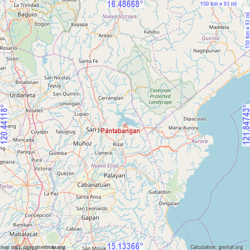
Pantabangan GPS coordinates[2]
15° 48' 40.68" North, 121° 8' 39.48" East
| Map corner | latitude | longitude |
|---|---|---|
| Upper-left | 16.48668°, | 120.44118° |
| Center: | 15.8113°, | 121.1443° |
| Lower-right: | 15.13366°, | 121.84743° |
| Map W x H: | 150.4×150.4 km | = 93.5×93.5mi |
| max Lat: | 20.78733° ⇑15.1% North |
| Pantabangan: | 15.8113° |
| min Lat: | ⇓84.9% South 4.65442° |
| min Long | Pantabangan | max Long |
| 117.04868° | 121.1443° | 126.58417° |
| W 27.4%⇐ | ⇒72.6% E |
Elevation
Elevation of Pantabangan is 278 m = 912 ft, and this is 190.1 m = 624 ft above average elevation for this country.
| Max E: |
2262 m = 7421 ft | 8.2% |
| Pantabangan | 278 m 912 ft | |
| Avg. | 87.9 m = 288 ft | |
Min E: |
-2 m = -7 ft | 91.8% |
See also: Philippines elevation on elevation.city.
Geographical zone
Pantabangan is located in North Torrid zone (between Equator and Tropic of Cancer). Distance of this Northern Tropic circle is 847.9 km =526.9 mi to North.| Distance of | km | miles | from Pantabangan |
|---|---|---|---|
| North Pole | 8249 | 5125.7 | to North |
| Arctic Circle | 5643.1 | 3506.5 | to North |
| Tropic Cancer | 847.9 | 526.9 | to North |
| Equator | 1758.1 | 1092.4 | to South |


Nearby cities:
15 places around Pantabangan: (largest is in red/bold)
• Agbannawag
16.1 km =10 mi,  203°
203°
• Bicos
20.1 km =12.5 mi,  213°
213°
• Bongabon
19.9 km =12.4 mi,  179°
179°
• Carranglan
18.8 km =11.7 mi,  332°
332°
• Conversion
9.8 km =6.1 mi,  349°
349°
• Del Pilar
14.3 km =8.9 mi, 205°
• Estrella
13.7 km =8.5 mi,  240°
240°
• General Luna
9.7 km =6 mi,  157°
157°
• Macapsing
14.8 km =9.2 mi,  185°
185°
• Paco Roman
17.9 km =11.1 mi, 199°
• Porais
12.5 km =7.8 mi, 240°
• Puncan
19.6 km =12.2 mi,  302°
302°
• Rizal
11.8 km =7.3 mi, 200°
• Sibul
15.5 km =9.6 mi,  265°
265°
• Tayabo
12.4 km =7.7 mi,  282°
282°
Sources, notices
• [Note1] Compared only with cities in Philippines existing in our database
• [Src1] Map data: © OpenStreetMap contributors (CC-BY-SA)
• [Src2] Other city data from geonames.org with taken over terms of usage.
• [Src3] Geographical zone / Annual Mean Temperature by Robert A. Rohde @ Wikipedia
