Palkan geodata
Palkan (Soccsksargen) is a populated place; located in Philippines in Asia/Manila (GMT+8) time zone. With population of 3,591 people, there are 1987 cities with bigger population in this country. Compared to other cities in Philippines, 96.8% of cities are located further ↑North; 88.3% of cities are located further ←West and 96.9% of cities have lower elevation than Palkan. Note1
Administrative division(s):
- Level 1: Soccsksargen
- Level 2: Province of South Cotabato
- Level 3: Polomolok


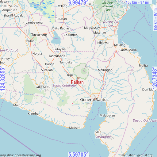
Palkan GPS coordinates[2]
6° 17' 47.004" North, 125° 1' 54.012" East
| Map corner | latitude | longitude |
|---|---|---|
| Upper-left | 6.99479°, | 124.32855° |
| Center: | 6.29639°, | 125.03167° |
| Lower-right: | 5.59705°, | 125.7348° |
| Map W x H: | 155.4×155.4 km | = 96.6×96.6mi |
| max Lat: | 20.78733° ⇑96.8% North |
| Palkan: | 6.29639° |
| min Lat: | ⇓3.2% South 4.65442° |
| min Long | Palkan | max Long |
| 117.04868° | 125.03167° | 126.58417° |
| W 88.3%⇐ | ⇒11.7% E |
Elevation
Elevation of Palkan is 593 m = 1946 ft, and this is 505.1 m = 1657 ft above average elevation for this country.
| Max E: |
2262 m = 7421 ft | 3.1% |
| Palkan | 593 m 1946 ft | |
| Avg. | 87.9 m = 288 ft | |
Min E: |
-2 m = -7 ft | 96.9% |
See also: Philippines elevation on elevation.city.
Geographical zone
Palkan is located in North Torrid zone (between Equator and Tropic of Cancer). Distance of Equator is 700.1 km =435 mi to South.| Distance of | km | miles | from Palkan |
|---|---|---|---|
| North Pole | 9307 | 5783.1 | to North |
| Arctic Circle | 6701.1 | 4163.9 | to North |
| Tropic Cancer | 1905.8 | 1184.2 | to North |
| Equator | 700.1 | 435 | to South |


Nearby cities:
15 places around Palkan: (largest is in red/bold)
• Cebuano
12.3 km =7.6 mi,  325°
325°
• Glamang
16 km =9.9 mi,  158°
158°
• Kabalen
3.5 km =2.2 mi,  317°
317°
• Koronadal
7.5 km =4.7 mi,  220°
220°
• Lampitak
15.3 km =9.5 mi,  8°
8°
• Linan
16.3 km =10.1 mi,  337°
337°
• Lunen
15.7 km =9.8 mi,  296°
296°
• Pagalungan
4 km =2.5 mi,  210°
210°
• Palian
15.9 km =9.9 mi, 302°
• Polo
9.6 km =6 mi,  111°
111°
• Polomolok
9 km =5.6 mi, 156°
• Polonoling
7.1 km =4.4 mi,  259°
259°
• Sulit
6.8 km =4.2 mi,  190°
190°
• Tupi
9.7 km =6 mi, 295°
• Upper Klinan
12.5 km =7.8 mi,  127°
127°
Sources, notices
• [Note1] Compared only with cities in Philippines existing in our database
• [Src1] Map data: © OpenStreetMap contributors (CC-BY-SA)
• [Src2] Other city data from geonames.org with taken over terms of usage.
• [Src3] Geographical zone / Annual Mean Temperature by Robert A. Rohde @ Wikipedia
