Natonin geodata
Natonin (Cordillera) is a seat of a third-order administrative division; located in Philippines in Asia/Manila (GMT+8) time zone. In our database, there are 4166 cities with bigger population. Compared to other cities in Philippines, 94.2% of cities are located further ↓South; 70.6% of cities are located further →East and 99% of cities have lower elevation than Natonin. Note1


Natonin GPS coordinates[2]
17° 6' 33.3" North, 121° 16' 34.104" East
| Map corner | latitude | longitude |
|---|---|---|
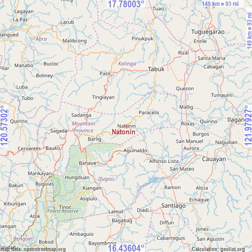
| Upper-left | 17.78003°, | 120.57302° |
| Center: | 17.10925°, | 121.27614° |
| Lower-right: | 16.43604°, | 121.97927° |
| Map W x H: | 149.4×149.4 km | = 92.8×92.8mi |
| max Lat: | 20.78733° ⇑5.8% North |
| Natonin: | 17.10925° |
| min Lat: | ⇓94.2% South 4.65442° |
| min Long | Natonin | max Long |
| 117.04868° | 121.27614° | 126.58417° |
| W 29.4%⇐ | ⇒70.6% E |
Elevation
Elevation of Natonin is 973 m = 3192 ft, and this is 885.1 m = 2904 ft above average elevation for this country.
| Max E: |
2262 m = 7421 ft | 1% |
| Natonin | 973 m 3192 ft | |
| Avg. | 87.9 m = 288 ft | |
Min E: |
-2 m = -7 ft | 99% |
See also: Philippines elevation on elevation.city.
Geographical zone
Natonin is located in North Torrid zone (between Equator and Tropic of Cancer). Distance of this Northern Tropic circle is 703.5 km =437.1 mi to North.| Distance of | km | miles | from Natonin |
|---|---|---|---|
| North Pole | 8104.7 | 5036 | to North |
| Arctic Circle | 5498.8 | 3416.8 | to North |
| Tropic Cancer | 703.5 | 437.1 | to North |
| Equator | 1902.4 | 1182.1 | to South |


Nearby cities:
15 places around Natonin: (largest is in red/bold)
• Banaue
31.5 km =19.6 mi,  226°
226°
• Barlig
20 km =12.4 mi,  246°
246°
• Betwagan
33 km =20.5 mi,  264°
264°
• Bocos
30.9 km =19.2 mi, 228°
• Bontoc
31.9 km =19.8 mi,  265°
265°
• Butigui
16.7 km =10.4 mi,  87°
87°
• Lubuagan
29.4 km =18.3 mi,  338°
338°
• Paracelis
26.8 km =16.7 mi,  49°
49°
• Pasil
34 km =21.1 mi,  333°
333°
• Sadanga
28.2 km =17.5 mi,  282°
282°
• San Jose
34.7 km =21.6 mi,  82°
82°
• Simimbaan
32.5 km =20.2 mi, 88°
• Tabuk
33.3 km =20.7 mi,  0°
0°
• Tanudan
21.1 km =13.1 mi,  348°
348°
• Tinglayan
22.1 km =13.7 mi, 326°
Sources, notices
• [Note1] Compared only with cities in Philippines existing in our database
• [Src1] Map data: © OpenStreetMap contributors (CC-BY-SA)
• [Src2] Other city data from geonames.org with taken over terms of usage.
• [Src3] Geographical zone / Annual Mean Temperature by Robert A. Rohde @ Wikipedia
