Pasil geodata
Pasil (Cordillera) is a seat of a third-order administrative division; located in Philippines in Asia/Manila (GMT+8) time zone. With population of 10,109 people, there are 603 cities with bigger population in this country. Compared to other cities in Philippines, 95.5% of cities are located further ↓South; 72.9% of cities are located further →East and 99.1% of cities have lower elevation than Pasil. Note1


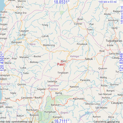
Pasil GPS coordinates[2]
17° 22' 59.988" North, 121° 7' 59.988" East
| Map corner | latitude | longitude |
|---|---|---|
| Upper-left | 18.0531°, | 120.43021° |
| Center: | 17.38333°, | 121.13333° |
| Lower-right: | 16.7111°, | 121.83646° |
| Map W x H: | 149.2×149.2 km | = 92.7×92.7mi |
| max Lat: | 20.78733° ⇑4.5% North |
| Pasil: | 17.38333° |
| min Lat: | ⇓95.5% South 4.65442° |
| min Long | Pasil | max Long |
| 117.04868° | 121.13333° | 126.58417° |
| W 27.1%⇐ | ⇒72.9% E |
Elevation
Elevation of Pasil is 999 m = 3278 ft, and this is 911.1 m = 2989 ft above average elevation for this country.
| Max E: |
2262 m = 7421 ft | 0.90000000000001% |
| Pasil | 999 m 3278 ft | |
| Avg. | 87.9 m = 288 ft | |
Min E: |
-2 m = -7 ft | 99.1% |
See also: Philippines elevation on elevation.city.
Geographical zone
Pasil is located in North Torrid zone (between Equator and Tropic of Cancer). Distance of this Northern Tropic circle is 673.1 km =418.2 mi to North.| Distance of | km | miles | from Pasil |
|---|---|---|---|
| North Pole | 8074.2 | 5017.1 | to North |
| Arctic Circle | 5468.3 | 3397.8 | to North |
| Tropic Cancer | 673.1 | 418.2 | to North |
| Equator | 1932.8 | 1201 | to South |


Nearby cities:
15 places around Pasil: (largest is in red/bold)
• Balbalan
9.7 km =6 mi,  48°
48°
• Boliney
37.5 km =23.3 mi,  274°
274°
• Bontoc
36.9 km =22.9 mi,  206°
206°
• Bucloc
29.8 km =18.5 mi,  282°
282°
• Daguioman
24.3 km =15.1 mi,  287°
287°
• Laya
36.8 km =22.9 mi,  74°
74°
• Licuan
34.8 km =21.6 mi,  316°
316°
• Lubuagan
5.4 km =3.4 mi,  125°
125°
• Natonin
34 km =21.1 mi,  153°
153°
• Paracelis
37.7 km =23.4 mi,  110°
110°
• Sadanga
27.2 km =16.9 mi, 206°
• Tabuk
15.7 km =9.8 mi,  79°
79°
• Tabuk
36.9 km =22.9 mi, 74°
• Tanudan
14.8 km =9.2 mi, 131°
• Tinglayan
12.3 km =7.6 mi,  165°
165°
Sources, notices
• [Note1] Compared only with cities in Philippines existing in our database
• [Src1] Map data: © OpenStreetMap contributors (CC-BY-SA)
• [Src2] Other city data from geonames.org with taken over terms of usage.
• [Src3] Geographical zone / Annual Mean Temperature by Robert A. Rohde @ Wikipedia
