Butigui geodata
Butigui (Cordillera) is a populated place; located in Philippines in Asia/Manila (GMT+8) time zone. With population of 2,219 people, there are 3849 cities with bigger population in this country. Compared to other cities in Philippines, 94.2% of cities are located further ↓South; 67.9% of cities are located further →East and 85.7% of cities have lower elevation than Butigui. Note1


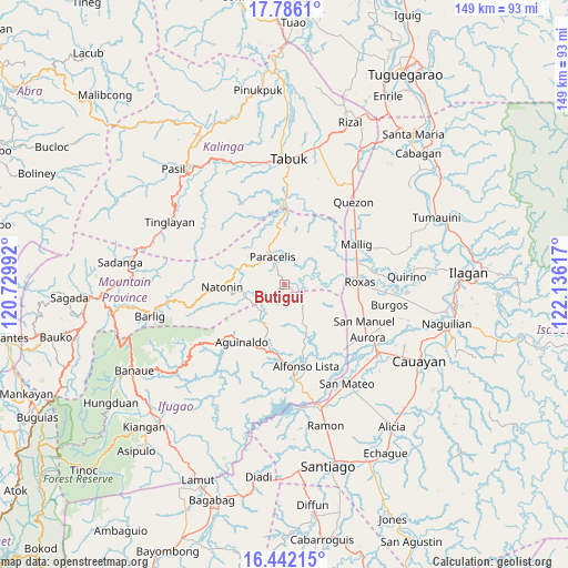
Butigui GPS coordinates[2]
17° 6' 55.224" North, 121° 25' 58.944" East
| Map corner | latitude | longitude |
|---|---|---|
| Upper-left | 17.7861°, | 120.72992° |
| Center: | 17.11534°, | 121.43304° |
| Lower-right: | 16.44215°, | 122.13617° |
| Map W x H: | 149.4×149.4 km | = 92.8×92.8mi |
| max Lat: | 20.78733° ⇑5.8% North |
| Butigui: | 17.11534° |
| min Lat: | ⇓94.2% South 4.65442° |
| min Long | Butigui | max Long |
| 117.04868° | 121.43304° | 126.58417° |
| W 32.1%⇐ | ⇒67.9% E |
Elevation
Elevation of Butigui is 147 m = 482 ft, and this is 59.1 m = 194 ft above average elevation for this country.
| Max E: |
2262 m = 7421 ft | 14.3% |
| Butigui | 147 m 482 ft | |
| Avg. | 87.9 m = 288 ft | |
Min E: |
-2 m = -7 ft | 85.7% |
See also: Philippines elevation on elevation.city.
Geographical zone
Butigui is located in North Torrid zone (between Equator and Tropic of Cancer). Distance of this Northern Tropic circle is 702.9 km =436.8 mi to North.| Distance of | km | miles | from Butigui |
|---|---|---|---|
| North Pole | 8104 | 5035.6 | to North |
| Arctic Circle | 5498.1 | 3416.4 | to North |
| Tropic Cancer | 702.9 | 436.8 | to North |
| Equator | 1903 | 1182.5 | to South |


Nearby cities:
15 places around Butigui: (largest is in red/bold)
• Aurora
25.7 km =16 mi,  122°
122°
• Bagong Tanza
24 km =14.9 mi,  127°
127°
• Barucboc Norte
24.3 km =15.1 mi,  49°
49°
• Eden
19.5 km =12.1 mi, 116°
• Mallig
21.8 km =13.5 mi,  60°
60°
• Muñoz East
19.7 km =12.2 mi,  76°
76°
• Natonin
16.7 km =10.4 mi,  267°
267°
• Paracelis
17.2 km =10.7 mi,  11°
11°
• Roxas
19.9 km =12.4 mi,  88°
88°
• San Jose
18.2 km =11.3 mi, 77°
• San Manuel
23.8 km =14.8 mi, 115°
• Sandiat Centro
22.2 km =13.8 mi,  102°
102°
• Siempre Viva
24.7 km =15.3 mi, 59°
• Simimbaan
15.8 km =9.8 mi, 88°
• Sinamar
27.8 km =17.3 mi,  149°
149°
Sources, notices
• [Note1] Compared only with cities in Philippines existing in our database
• [Src1] Map data: © OpenStreetMap contributors (CC-BY-SA)
• [Src2] Other city data from geonames.org with taken over terms of usage.
• [Src3] Geographical zone / Annual Mean Temperature by Robert A. Rohde @ Wikipedia
