Nato geodata
Nato (Western Visayas) is a populated place; located in Philippines in Asia/Manila (GMT+8) time zone. With population of 3,548 people, there are 2020 cities with bigger population in this country. Compared to other cities in Philippines, 66.8% of cities are located further ↑North; 50.8% of cities are located further ←West and 76.6% of cities have higher elevation than Nato. Note1
Administrative division(s):
- Level 1: Western Visayas
- Level 2: Province of Negros Occidental
- Level 3: City of Himamaylan


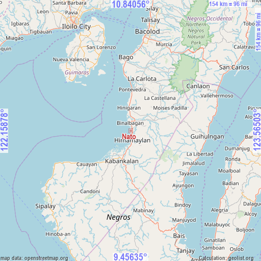
Nato GPS coordinates[2]
10° 8' 57.12" North, 122° 51' 42.84" East
| Map corner | latitude | longitude |
|---|---|---|
| Upper-left | 10.84056°, | 122.15878° |
| Center: | 10.1492°, | 122.8619° |
| Lower-right: | 9.45635°, | 123.56503° |
| Map W x H: | 153.9×153.9 km | = 95.6×95.6mi |
| max Lat: | 20.78733° ⇑66.8% North |
| Nato: | 10.1492° |
| min Lat: | ⇓33.2% South 4.65442° |
| min Long | Nato | max Long |
| 117.04868° | 122.8619° | 126.58417° |
| W 50.8%⇐ | ⇒49.2% E |
Elevation
Elevation of Nato is 10 m = 33 ft, and this is 77.9 m = 256 ft below average elevation for this country.
| Max E: |
2262 m = 7421 ft | 76.6% |
| Avg. | 87.9 m = 288 ft | |
| Nato | 10 m = 33 ft | |
Min E: |
-2 m = -7 ft | 23.4% |
See also: Philippines elevation on elevation.city.
Geographical zone
Nato is located in North Torrid zone (between Equator and Tropic of Cancer). Distance of Equator is 1128.5 km =701.2 mi to South.| Distance of | km | miles | from Nato |
|---|---|---|---|
| North Pole | 8878.6 | 5516.9 | to North |
| Arctic Circle | 6272.7 | 3897.7 | to North |
| Tropic Cancer | 1477.4 | 918 | to North |
| Equator | 1128.5 | 701.2 | to South |


Nearby cities:
15 places around Nato: (largest is in red/bold)
• Aguisan
1.2 km =0.7 mi,  357°
357°
• Bagroy
10.1 km =6.3 mi,  53°
53°
• Binalbagan
5.1 km =3.2 mi, 355°
• Cabadiangan
8.9 km =5.5 mi,  92°
92°
• Cabanbanan
12.7 km =7.9 mi,  124°
124°
• Carabalan
10.9 km =6.8 mi, 122°
• Himamaylan
5.7 km =3.5 mi,  170°
170°
• Libacao
6.6 km =4.1 mi,  58°
58°
• Mambagatan
5.3 km =3.3 mi,  147°
147°
• Marawis
11 km =6.8 mi,  14°
14°
• Montilla
9.2 km =5.7 mi, 49°
• Patique
10.6 km =6.6 mi,  22°
22°
• Payao
7.5 km =4.7 mi, 64°
• Suay
10.9 km =6.8 mi,  191°
191°
• Talaban
2.7 km =1.7 mi, 167°
Sources, notices
• [Note1] Compared only with cities in Philippines existing in our database
• [Src1] Map data: © OpenStreetMap contributors (CC-BY-SA)
• [Src2] Other city data from geonames.org with taken over terms of usage.
• [Src3] Geographical zone / Annual Mean Temperature by Robert A. Rohde @ Wikipedia
