Kalandagan geodata
Kalandagan (Soccsksargen) is a populated place; located in Philippines in Asia/Manila (GMT+8) time zone. With population of 2,137 people, there are 4017 cities with bigger population in this country. Compared to other cities in Philippines, 94.2% of cities are located further ↑North; 82.8% of cities are located further ←West and 59.5% of cities have lower elevation than Kalandagan. Note1
Administrative division(s):
- Level 1: Soccsksargen
- Level 2: Province of Sultan Kudarat
- Level 3: President Quirino


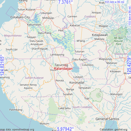
Kalandagan GPS coordinates[2]
6° 40' 41.736" North, 124° 43' 29.172" East
| Map corner | latitude | longitude |
|---|---|---|
| Upper-left | 7.3761°, | 124.02165° |
| Center: | 6.67826°, | 124.72477° |
| Lower-right: | 5.97942°, | 125.4279° |
| Map W x H: | 155.3×155.3 km | = 96.5×96.5mi |
| max Lat: | 20.78733° ⇑94.2% North |
| Kalandagan: | 6.67826° |
| min Lat: | ⇓5.8% South 4.65442° |
| min Long | Kalandagan | max Long |
| 117.04868° | 124.72477° | 126.58417° |
| W 82.8%⇐ | ⇒17.2% E |
Elevation
Elevation of Kalandagan is 33 m = 108 ft, and this is 54.9 m = 180 ft below average elevation for this country.
| Max E: |
2262 m = 7421 ft | 40.5% |
| Avg. | 87.9 m = 288 ft | |
| Kalandagan | 33 m = 108 ft | |
Min E: |
-2 m = -7 ft | 59.5% |
See also: Philippines elevation on elevation.city.
Geographical zone
Kalandagan is located in North Torrid zone (between Equator and Tropic of Cancer). Distance of Equator is 742.6 km =461.4 mi to South.| Distance of | km | miles | from Kalandagan |
|---|---|---|---|
| North Pole | 9264.5 | 5756.7 | to North |
| Arctic Circle | 6658.6 | 4137.5 | to North |
| Tropic Cancer | 1863.4 | 1157.9 | to North |
| Equator | 742.6 | 461.4 | to South |


Nearby cities:
15 places around Kalandagan: (largest is in red/bold)
• Bukay Pait
13.8 km =8.6 mi,  160°
160°
• Buluan
9.7 km =6 mi,  61°
61°
• Damawato
6.9 km =4.3 mi,  69°
69°
• Digal
11.5 km =7.1 mi,  43°
43°
• Dumaguil
10.2 km =6.3 mi,  230°
230°
• Gansing
9.1 km =5.7 mi,  299°
299°
• Kapingkong
10.9 km =6.8 mi,  268°
268°
• Katico
9.1 km =5.7 mi,  5°
5°
• Mamali
13.6 km =8.5 mi,  321°
321°
• Mariano Marcos
8.9 km =5.5 mi,  313°
313°
• New Lagao
9.6 km =6 mi,  286°
286°
• President Quirino
3.2 km =2 mi,  25°
25°
• Tacurong
5.6 km =3.5 mi, 286°
• Tambak
12.4 km =7.7 mi, 295°
• Tantangan
7.5 km =4.7 mi, 159°
Sources, notices
• [Note1] Compared only with cities in Philippines existing in our database
• [Src1] Map data: © OpenStreetMap contributors (CC-BY-SA)
• [Src2] Other city data from geonames.org with taken over terms of usage.
• [Src3] Geographical zone / Annual Mean Temperature by Robert A. Rohde @ Wikipedia
