Sigaboy geodata
Sigaboy (Davao) is a populated place; located in Philippines in Asia/Manila (GMT+8) time zone. With population of 7,981 people, there are 772 cities with bigger population in this country. Compared to other cities in Philippines, 94.5% of cities are located further ↑North; 98.3% of cities are located further ←West and 67.4% of cities have higher elevation than Sigaboy. Note1
Administrative division(s):
- Level 1: Davao
- Level 2: Province of Davao Oriental
- Level 3: Governor Generoso


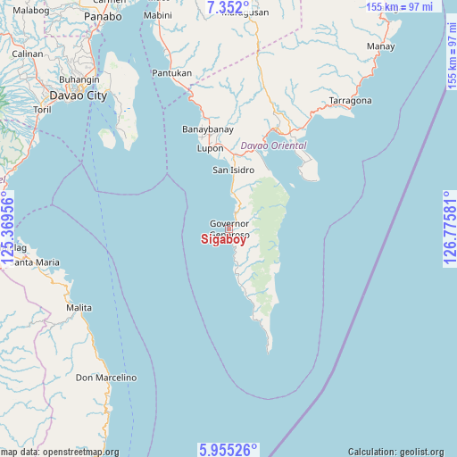
Sigaboy GPS coordinates[2]
6° 39' 14.868" North, 126° 4' 21.648" East
| Map corner | latitude | longitude |
|---|---|---|
| Upper-left | 7.352°, | 125.36956° |
| Center: | 6.65413°, | 126.07268° |
| Lower-right: | 5.95526°, | 126.77581° |
| Map W x H: | 155.3×155.3 km | = 96.5×96.5mi |
| max Lat: | 20.78733° ⇑94.5% North |
| Sigaboy: | 6.65413° |
| min Lat: | ⇓5.5% South 4.65442° |
| min Long | Sigaboy | max Long |
| 117.04868° | 126.07268° | 126.58417° |
| W 98.3%⇐ | ⇒1.7% E |
Elevation
Elevation of Sigaboy is 13 m = 43 ft, and this is 74.9 m = 246 ft below average elevation for this country.
| Max E: |
2262 m = 7421 ft | 67.4% |
| Avg. | 87.9 m = 288 ft | |
| Sigaboy | 13 m = 43 ft | |
Min E: |
-2 m = -7 ft | 32.6% |
See also: Philippines elevation on elevation.city.
Geographical zone
Sigaboy is located in North Torrid zone (between Equator and Tropic of Cancer). Distance of Equator is 739.9 km =459.8 mi to South.| Distance of | km | miles | from Sigaboy |
|---|---|---|---|
| North Pole | 9267.2 | 5758.4 | to North |
| Arctic Circle | 6661.3 | 4139.1 | to North |
| Tropic Cancer | 1866 | 1159.5 | to North |
| Equator | 739.9 | 459.8 | to South |


Nearby cities:
15 places around Sigaboy: (largest is in red/bold)
• Baon
15.8 km =9.8 mi,  6°
6°
• Batobato
19.1 km =11.9 mi,  3°
3°
• Bitaogan
12.7 km =7.9 mi, 2°
• Davan
30.3 km =18.8 mi,  17°
17°
• Ilangay
28.9 km =18 mi,  355°
355°
• La Union
5.8 km =3.6 mi, 16°
• Lupon
28 km =17.4 mi,  345°
345°
• Luzon
15.2 km =9.4 mi,  171°
171°
• Magdug
12.1 km =7.5 mi, 168°
• Manikling
25 km =15.5 mi, 356°
• Nangan
21 km =13 mi,  164°
164°
• Surup
30.4 km =18.9 mi, 164°
• Talisay
7.9 km =4.9 mi, 22°
• Tibanbang
4.4 km =2.7 mi,  124°
124°
• Tiblawan
19.9 km =12.4 mi, 168°
Sources, notices
• [Note1] Compared only with cities in Philippines existing in our database
• [Src1] Map data: © OpenStreetMap contributors (CC-BY-SA)
• [Src2] Other city data from geonames.org with taken over terms of usage.
• [Src3] Geographical zone / Annual Mean Temperature by Robert A. Rohde @ Wikipedia
