Bitaogan geodata
Bitaogan (Davao) is a populated place; located in Philippines in Asia/Manila (GMT+8) time zone. With population of 2,145 people, there are 3999 cities with bigger population in this country. Compared to other cities in Philippines, 93.4% of cities are located further ↑North; 98.3% of cities are located further ←West and 57.6% of cities have higher elevation than Bitaogan. Note1


Bitaogan GPS coordinates[2]
6° 46' 6.312" North, 126° 4' 38.568" East
| Map corner | latitude | longitude |
|---|---|---|
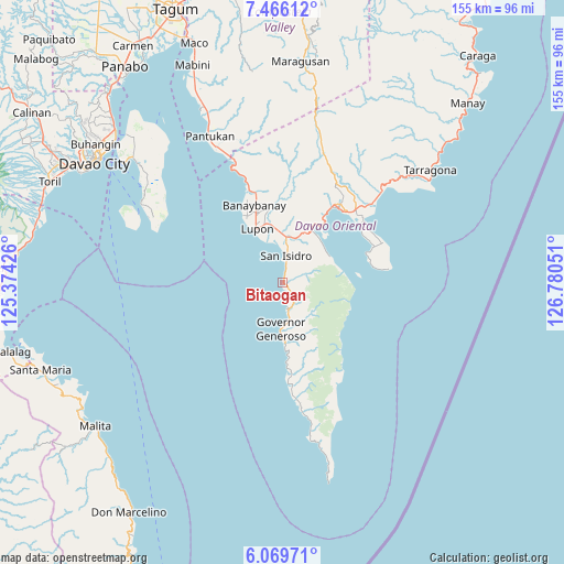
| Upper-left | 7.46612°, | 125.37426° |
| Center: | 6.76842°, | 126.07738° |
| Lower-right: | 6.06971°, | 126.78051° |
| Map W x H: | 155.3×155.3 km | = 96.5×96.5mi |
| max Lat: | 20.78733° ⇑93.4% North |
| Bitaogan: | 6.76842° |
| min Lat: | ⇓6.6% South 4.65442° |
| min Long | Bitaogan | max Long |
| 117.04868° | 126.07738° | 126.58417° |
| W 98.3%⇐ | ⇒1.7% E |
Elevation
Elevation of Bitaogan is 18 m = 59 ft, and this is 69.9 m = 229 ft below average elevation for this country.
| Max E: |
2262 m = 7421 ft | 57.6% |
| Avg. | 87.9 m = 288 ft | |
| Bitaogan | 18 m = 59 ft | |
Min E: |
-2 m = -7 ft | 42.4% |
See also: Philippines elevation on elevation.city.
Geographical zone
Bitaogan is located in North Torrid zone (between Equator and Tropic of Cancer). Distance of Equator is 752.6 km =467.6 mi to South.| Distance of | km | miles | from Bitaogan |
|---|---|---|---|
| North Pole | 9254.5 | 5750.5 | to North |
| Arctic Circle | 6648.6 | 4131.2 | to North |
| Tropic Cancer | 1853.3 | 1151.6 | to North |
| Equator | 752.6 | 467.6 | to South |


Nearby cities:
15 places around Bitaogan: (largest is in red/bold)
• Banaybanay
22.6 km =14 mi,  342°
342°
• Baon
3.2 km =2 mi,  20°
20°
• Batobato
6.4 km =4 mi,  7°
7°
• Davan
18.3 km =11.4 mi,  27°
27°
• Ilangay
16.3 km =10.1 mi,  349°
349°
• La Union
7.2 km =4.5 mi,  170°
170°
• Lupon
16.2 km =10.1 mi,  332°
332°
• Magdug
24.6 km =15.3 mi,  175°
175°
• Manikling
12.4 km =7.7 mi, 351°
• Mati
25.8 km =16 mi,  36°
36°
• Panikian
27.6 km =17.1 mi, 347°
• Sigaboy
12.7 km =7.9 mi, 182°
• Talisay
6 km =3.7 mi,  155°
155°
• Tamisan
25.8 km =16 mi,  71°
71°
• Tibanbang
15.5 km =9.6 mi, 168°
Sources, notices
• [Note1] Compared only with cities in Philippines existing in our database
• [Src1] Map data: © OpenStreetMap contributors (CC-BY-SA)
• [Src2] Other city data from geonames.org with taken over terms of usage.
• [Src3] Geographical zone / Annual Mean Temperature by Robert A. Rohde @ Wikipedia
