Dayapan geodata
Dayapan (Calabarzon) is a populated place; located in Philippines in Asia/Manila (GMT+8) time zone. With population of 2,396 people, there are 3471 cities with bigger population in this country. Compared to other cities in Philippines, 68.1% of cities are located further ↓South; 78.9% of cities are located further →East and 79.4% of cities have lower elevation than Dayapan. Note1


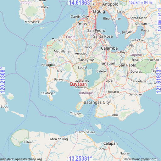
Dayapan GPS coordinates[2]
13° 56' 14.028" North, 120° 54' 58.32" East
| Map corner | latitude | longitude |
|---|---|---|
| Upper-left | 14.61863°, | 120.21308° |
| Center: | 13.93723°, | 120.9162° |
| Lower-right: | 13.25381°, | 121.61933° |
| Map W x H: | 151.8×151.8 km | = 94.3×94.3mi |
| max Lat: | 20.78733° ⇑31.9% North |
| Dayapan: | 13.93723° |
| min Lat: | ⇓68.1% South 4.65442° |
| min Long | Dayapan | max Long |
| 117.04868° | 120.9162° | 126.58417° |
| W 21.1%⇐ | ⇒78.9% E |
Elevation
Elevation of Dayapan is 88 m = 289 ft, and this is 0.099999999999994 m = 0 ft above average elevation for this country.
| Max E: |
2262 m = 7421 ft | 20.6% |
| Dayapan | 88 m 289 ft | |
| Avg. | 87.9 m = 288 ft | |
Min E: |
-2 m = -7 ft | 79.4% |
See also: Philippines elevation on elevation.city.
Geographical zone
Dayapan is located in North Torrid zone (between Equator and Tropic of Cancer). Distance of this Northern Tropic circle is 1056.2 km =656.3 mi to North.| Distance of | km | miles | from Dayapan |
|---|---|---|---|
| North Pole | 8457.4 | 5255.2 | to North |
| Arctic Circle | 5851.5 | 3636 | to North |
| Tropic Cancer | 1056.2 | 656.3 | to North |
| Equator | 1549.7 | 962.9 | to South |


Nearby cities:
15 places around Dayapan: (largest is in red/bold)
• Agoncillo
1.8 km =1.1 mi,  95°
95°
• Bugaan
11.6 km =7.2 mi,  10°
10°
• Calaca
11.1 km =6.9 mi,  267°
267°
• Calumpang
12.3 km =7.6 mi,  148°
148°
• Lemery
6.3 km =3.9 mi,  182°
182°
• Matingain
4.7 km =2.9 mi,  235°
235°
• Mozon
12.3 km =7.6 mi,  140°
140°
• Payapa
7.2 km =4.5 mi,  338°
338°
• San Jose
10.1 km =6.3 mi,  159°
159°
• San Luis
9.2 km =5.7 mi, 179°
• San Nicolas
3.9 km =2.4 mi, 104°
• Santa Teresita
10.6 km =6.6 mi, 138°
• Sinisian
8.2 km =5.1 mi,  252°
252°
• Subic
2.9 km =1.8 mi,  63°
63°
• Taal
6.4 km =4 mi,  173°
173°
Sources, notices
• [Note1] Compared only with cities in Philippines existing in our database
• [Src1] Map data: © OpenStreetMap contributors (CC-BY-SA)
• [Src2] Other city data from geonames.org with taken over terms of usage.
• [Src3] Geographical zone / Annual Mean Temperature by Robert A. Rohde @ Wikipedia
